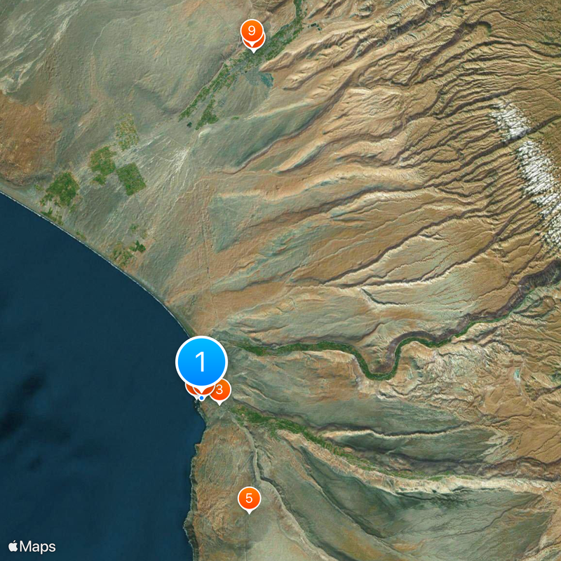
Morro de Arica, Cultural landmark on coastal cliff in Arica, Chile.
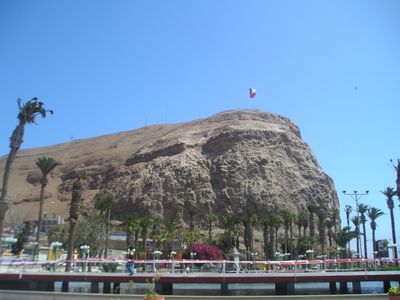
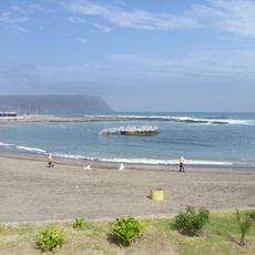
Morro de Arica is a steep rock on the coast of the city of Arica in the region of the same name in the far north of Chile, about 139 meters above sea level. The rock walls drop almost vertically to the Pacific and form a natural barrier between the city and the open sea.
In 1880, Chilean troops captured this rock from the Peruvian defenders during the Saltpeter War. This military action marked the capture of the city of Arica by Chile and shifted the border to the north.
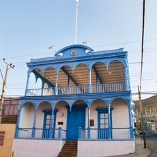
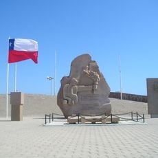
The name comes from the Aymara word for rock formation and today refers to a memorial site overlooking the city and the ocean. Visitors see a large Chilean flag and monuments from the time of the Saltpeter War, shaping the collective memory of the region.
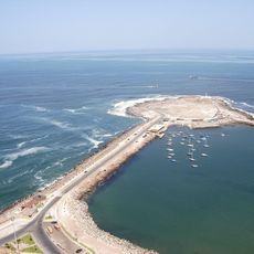
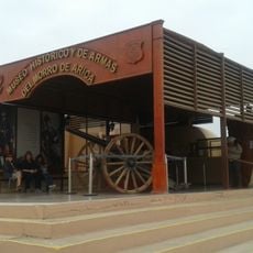
Paved paths and an asphalt road lead to the summit, where a small military history museum has been set up. From the top, you have a clear view of the city, the port, and the coastline to the north and south.
The large flag on the summit serves as a navigation point for shipping entering the port. It is considered the largest of its kind in the country and is visible from a great distance.
Location: Arica y Parinacota Region
Location: Arica Province
Location: Arica
GPS coordinates: -18.48028,-70.32361
Latest update: December 5, 2025 22:26
Parabolic Arch of Tacna
52.5 km
Estadio Carlos Dittborn
2.7 km
St. Mark's Cathedral
340 m
Tutelares
18.4 km
Península del Alacrán
822 m
Tacna Ornamental Fountain
52.5 km
Casa Bolognesi
295 m
Estadio Jorge Basadre
53.4 km
Museo Arqueológico San Miguel de Azapa
15.6 km
Playa Chinchorro
2.7 km
Mosque Bab ul Islam
51.7 km
Arica House of Culture
442 m
Museo Histórico y de Armas del Morro de Arica
111 m
Playa La Lisera
1.5 km
Municipal Theatre of Tacna
52.9 km
House Yanulaque
804 m
Tacna Prefecture
52.5 km
Monumento al soldado desconocido, Arica
183 m
Playa Las Machas
4.4 km
Iglesia de San Jerónimo, Poconchile
27.4 km
Canal Azapa
19.2 km
Iglesia de San Miguel
15.8 km
Phare Concordia
15 km
Phare de la péninsule du Scorpion
981 m
Cristo de la Concordia, Arica
79 m
Settlement and Artificial Mummification of the Chinchorro Culture in the Arica and Parinacota Region
256 m
Fuerte Ciudadela
2.1 km
Humedal de la desembocadura del Río Lluta
7.4 kmReviews
Visited this place? Tap the stars to rate it and share your experience / photos with the community! Try now! You can cancel it anytime.
Discover hidden gems everywhere you go!
From secret cafés to breathtaking viewpoints, skip the crowded tourist spots and find places that match your style. Our app makes it easy with voice search, smart filtering, route optimization, and insider tips from travelers worldwide. Download now for the complete mobile experience.
A unique approach to discovering new places❞
— Le Figaro
All the places worth exploring❞
— France Info
A tailor-made excursion in just a few clicks❞
— 20 Minutes