Península del Alacrán, Historical monument in Arica, Chile
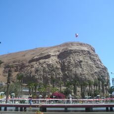
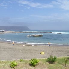
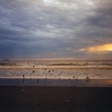
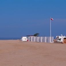
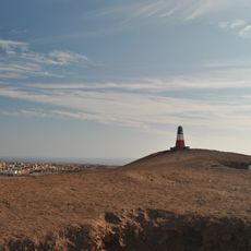
Península del Alacrán is a former island of 49,369 m², 460 m off the Arica coast, joined to the mainland by an artificial causeway built in 1964–1965. The Club de Yates de Arica occupies its northern side, while Playa del Alacrán on the south side is used for bodyboarding and surfing. Remains of a Peruvian fort begun after 1866 stand on the site.
Originally an island inhabited by pre-Columbian shellfish gatherers, it was connected to the mainland in 1964 through construction. Fortifications from Peru's independence period define the site's layout and character today.
The peninsula displays military structures connected to Peru's independence era, arranged across the landscape in their original positions. Locals use the bay for boating and fishing today, keeping the site tied to maritime life.
The peninsula is easily reached from the city, with most paths following the shoreline. Visitors should be prepared for strong winds and waves, especially when approaching the water level.
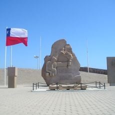
The 49,369 m² island lay 460 m offshore and was joined to the mainland by an artificial road built in 1964 and finished in 1965. On 13 December 1985 the peninsula and the remains of its fortification were declared a national monument. Its north side now holds the Arica Yacht Club, the south side the Alacrán beach.
The community of curious travelers
AroundUs brings together thousands of curated places, local tips, and hidden gems, enriched daily by 92,812 contributors worldwide.