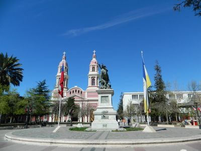
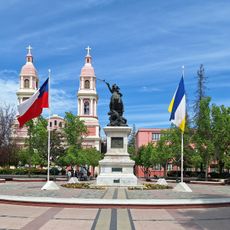
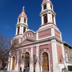
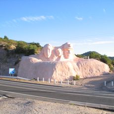
Rancagua, Provincial capital in O'Higgins Region, Chile
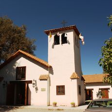
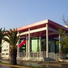
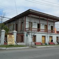
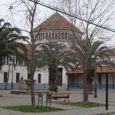
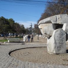
Rancagua is a provincial capital in the O'Higgins Region of central Chile, surrounded by vineyards and agricultural fields in a wide valley. The city spreads with broad streets and low buildings from the center to the outskirts, where residential areas gradually transition into farmland.
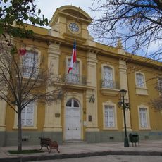
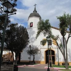
The Battle of Rancagua in 1814 ended with a defeat of republican forces against Spanish royalists and delayed Chilean independence. After this event, the city was rebuilt during the 19th century as a trading and administrative center for the region.
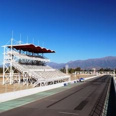
The city preserves its connection to Chilean rodeo, where huasos in traditional clothing perform on horseback in the medialuna arena. Visitors can watch the riders' skill during competitions and experience the typical atmosphere of this rural sport.
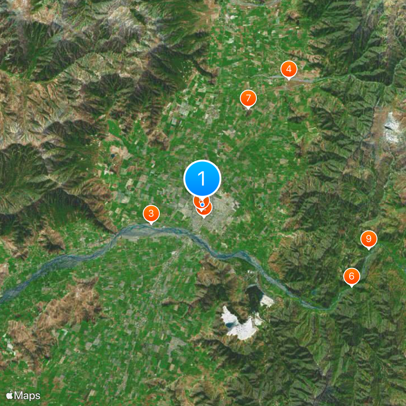
The trip takes place via the Panamerican Highway or by train from Santiago station, with the journey lasting around one hour. The center is easy to explore on foot, while more distant areas can be reached by local buses or taxis.
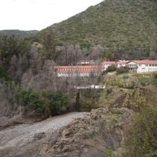
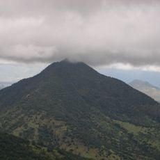
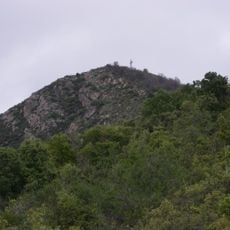
The El Teniente mine in the nearby mountains is the largest underground copper mine in the world and has shaped the economic life of the city for decades. Many residents work directly or indirectly with mining and commute daily on winding roads between the city and the mine.
Location: Rancagua
Inception: October 5, 1743
Elevation above the sea: 572 m
Website: https://rancagua.cl
GPS coordinates: -34.16539,-70.73981
Latest update: December 12, 2025 22:42
Estadio El Teniente
1.4 km
Parque Safari Rancagua
6.1 km
Autódromo Internacional de Codegua
17.4 km
Plaza de los Héroes de Rancagua
556 m
Termas de Cauquenes
19.3 km
Pukara de La Compañia
12.2 km
Sagrario Cathedral
634 m
Casa 100
19.6 km
Museo Regional de Rancagua
902 m
Shopping Center Punta del Sol
3.4 km
La Compañía
10.7 km
Teatro Regional Lucho Gatica
1.1 km
Iglesia de San Francisco de Asís
1 km
Casa patronal del fundo El Puente
1.1 km
Monumento a la Familia Minera
9.8 km
Casa Hodgkinson
10.9 km
Estadio Municipal Patricio Mekis
1.3 km
Gobernación Provincial de Cachapoal
575 m
Plazuela Marcelino Champagnat
953 m
Iglesia de Nuestra Señora de la Merced, Codegua
16 km
Población Errázuriz de Coya
19.8 km
Cerro Tren Tren
17.7 km
Morro del Chivato
19.1 km
Paseo de los Derechos Humanos, Escultura El Abrazo Solidario y Piedra Verde
209 m
Iglesia de la Merced
387 m
Casas patronales del fundo Los Perales
15.5 km
Museo Regional de Rancagua
917 m
Casa del Pilar de Piedra
917 mVisited this place? Tap the stars to rate it and share your experience / photos with the community! Try now! You can cancel it anytime.
Discover hidden gems everywhere you go!
From secret cafés to breathtaking viewpoints, skip the crowded tourist spots and find places that match your style. Our app makes it easy with voice search, smart filtering, route optimization, and insider tips from travelers worldwide. Download now for the complete mobile experience.
A unique approach to discovering new places❞
— Le Figaro
All the places worth exploring❞
— France Info
A tailor-made excursion in just a few clicks❞
— 20 Minutes