Valle de Uspallata, Mountain valley in Mendoza Province, Argentina
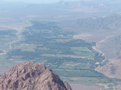
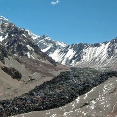
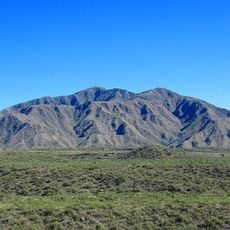
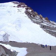
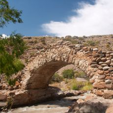
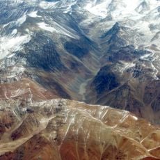
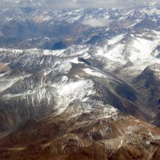
Valle de Uspallata is a mountain valley in Mendoza Province that stretches between 1,900 and 2,500 meters in elevation, with the Mendoza River and mountain streams flowing through it. The terrain is surrounded by high peaks and forms a natural corridor connecting Argentina to Chile.
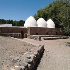
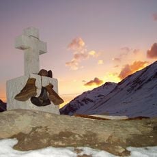
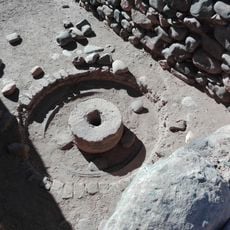
The region was used by early miners who extracted gold, silver, zinc, and copper, building oval-shaped kilns whose ruins remain visible today. In the 1800s, the valley served as a gathering point for General San Martín's armies before their historic crossing of the Andes.
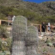
The ruins of mining settlements scattered across the valley show how people once lived and worked in this remote location. Visitors can observe old structures that reflect the economic activities that shaped the region.
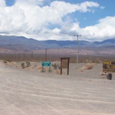
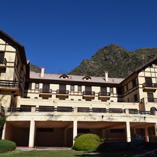
The valley lies about 100 kilometers west of Mendoza city and is accessible via Route 7, which also serves as the main link to Chile. Several accommodation options are available in the area, and the best visiting season is outside winter months when roads are easily passable.
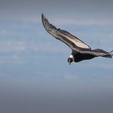
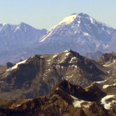
The valley is home to a small airport where visitors can get a rare close-up view of Aconcagua, the highest mountain in the southern hemisphere. This massive peak shapes the landscape and is visible from many points throughout the area.
The community of curious travelers
AroundUs brings together thousands of curated places, local tips, and hidden gems, enriched daily by 60,000 contributors worldwide.