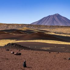
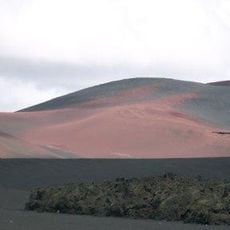
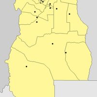
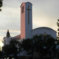
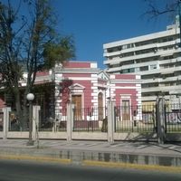
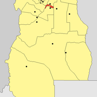
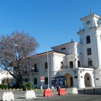
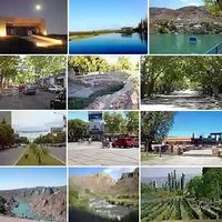
Mendoza Province, Administrative region at Andes foothills, Argentina
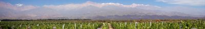
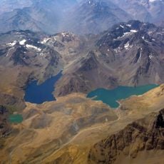
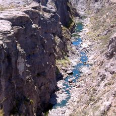
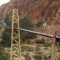
Mendoza covers a large portion of western Argentina and reaches from the peaks of the Andes to gently sloping plains in the east. Rivers run through the region and supply vineyards and orchards with water from the mountains.
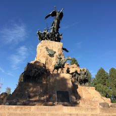
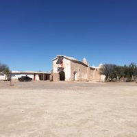
Spanish settlers founded the province in the 16th century and built irrigation channels for farming. Later the territory separated from Chile and became part of the viceroyalty on the Rio de la Plata.
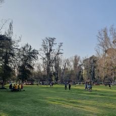
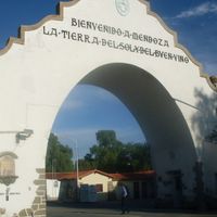
The annual grape festival brings visitors from around the country and showcases winemaking traditions through music and parades. At local wineries, people gather for tastings where regional wines are shared in a relaxed atmosphere.
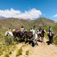
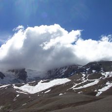
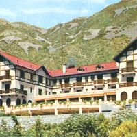
Most wine routes lie south of the capital and remain open throughout the year, though harvest season in spring is especially lively. Visitors heading to the mountains should prepare for changing weather and large shifts in elevation.
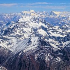
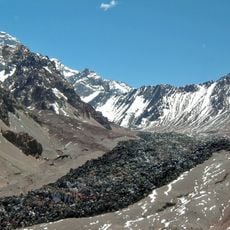
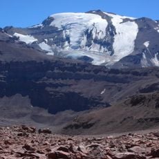
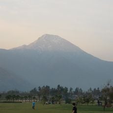
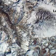
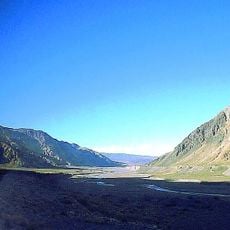
The tallest peak in both American continents sits in the northwest of the province and draws climbers from around the world. At nearly 7000 meters, this mountain offers a challenge that few other places on Earth can match.
Location: Argentina
Inception: 1812
Capital city: Mendoza
Elevation above the sea: 875 m
Reference: MZA
Shares border with: San Juan Province, San Luis Province, La Pampa, Neuquén Province, Valparaíso Region, Santiago Metropolitan Region, O'Higgins Region, Maule Región
Website: https://mendoza.gov.ar
GPS coordinates: -32.89861,-68.84639
Latest update: December 15, 2025 00:48
Aconcagua
112.5 km
Bahá'í House of Worship for the South American continent
167.6 km
Puente del Inca
99.9 km
Sewell
194.4 km
Christ the Redeemer of the Andes
114.8 km
Embalse El Yeso
141 km
Estadio San Carlos de Apoquindo
163.8 km
General San Martín Park
2.5 km
Villa Grimaldi
170.1 km
Aconcagua Provincial Park
90.1 kmCerro de la Gloria
4.3 km
Tupungato Volcano
100.2 km
El Plomo
133.1 km
Estadio Bicentenario de La Florida
176.4 km
Atuel Canyon
222.3 km
Reserva Natural La Payunia
411.9 km
Reserva Provincial La Payunia
393.3 km
Cerro Manquehue
169.5 km
Pozo de las Ánimas
276.3 km
Volcán Maipo
168.1 km
Villavicencio Natural Reserve
44.4 km
Mall Parque Arauco
170.8 km
Domuyo
440.6 km
Parque natural Aguas de Ramón
166.6 kmPaso de Los Patos
141.9 km
Parque Padre Hurtado
169.1 km
Uspallata Pass
114.8 kmVisited this place? Tap the stars to rate it and share your experience / photos with the community! Try now! You can cancel it anytime.
Capital Department
General Alvear Department, Mendoza
Departamento Godoy Cruz
Guaymallén Department
Junín Department
La Paz Departament
Las Heras Department
Lavalle Department
Departamento Luján de Cuyo
Maipú Department
Malargüe Department
Rivadavia Department
San Carlos Department
San Martín Department
San Rafael Department
Santa Rosa Department
Tunuyán Department
Tupungato Department
Discover hidden gems everywhere you go!
From secret cafés to breathtaking viewpoints, skip the crowded tourist spots and find places that match your style. Our app makes it easy with voice search, smart filtering, route optimization, and insider tips from travelers worldwide. Download now for the complete mobile experience.
A unique approach to discovering new places❞
— Le Figaro
All the places worth exploring❞
— France Info
A tailor-made excursion in just a few clicks❞
— 20 Minutes