Moquegua Department, Administrative region in southern Peru
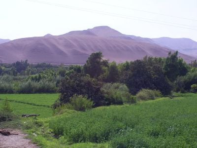
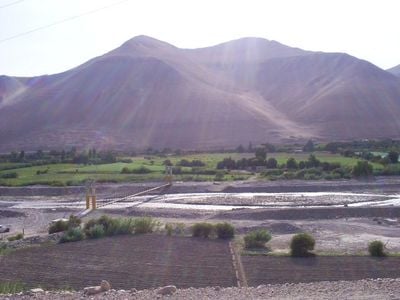
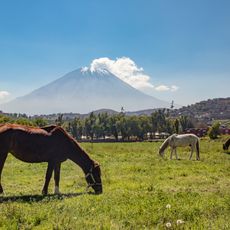
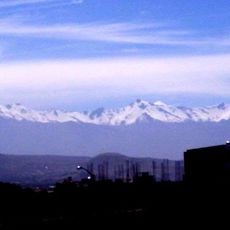
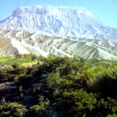
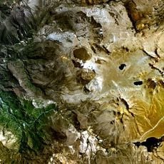
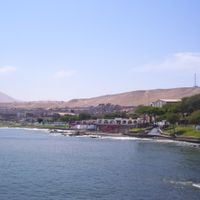
Moquegua Department is an administrative region in southern Peru that extends from the Pacific shoreline inland to the Andean plateau, covering three provinces with different geographical zones. The territory shifts between coastal desert, fertile river valleys, and mountain terraces where grapevines and olive trees grow on steep slopes.
The Pukina and Qullas people lived in this territory until Inca Mayta Capac founded the first settlements of Cuchuna and Moquegua, bringing the area under Inca control. Spanish colonization later transformed the administrative structure and introduced new farming systems that still shape the valley today.
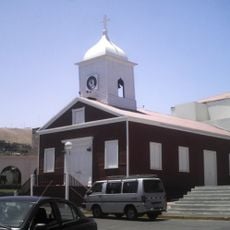
The name Moquegua comes from the Pukina language and refers to a place of silence or quietness, now reflected in the market squares and vineyard estates scattered through the valleys. Visitors can walk through traditional distilleries where locals craft pisco using handmade copper stills, blending old techniques with everyday work rhythms.
Travelers can enter the region through Herrera Turque Podesta Airport in the capital city or use main highways linking to larger Peruvian cities. Buses run regularly from Arequipa and Tacna, with journeys taking several hours through desert and mountain scenery.
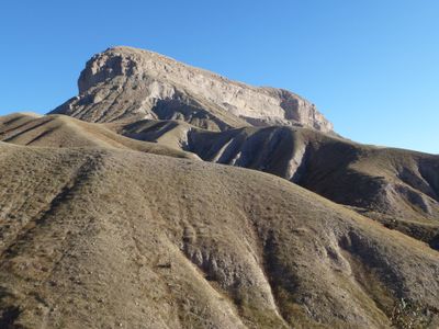
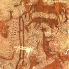
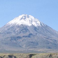
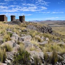
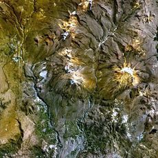
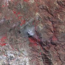
The region contains twenty districts across three provinces, each with archaeological sites such as Cerro Baúl, a pre-Columbian administrative center on a flat mountaintop. Visitors can also discover pre-Inca petroglyphs in remote valleys that offer clues about early trade routes and rituals.
The community of curious travelers
AroundUs brings together thousands of curated places, local tips, and hidden gems, enriched daily by 60,000 contributors worldwide.