Log in to your account

AroundUs is a community-driven map of interesting places, built by curious explorers like you. It grows with every review, story, and photo you share.
Connect to save your favorite spots, contribute locations, and create personalized routes.
Continue with Google
Continue with Apple
Continue with X
Continue with Facebook
Continue with email
By continuing, you accept our Terms and Conditions and our Privacy Policy
Create an account
Add to collection
Map
Suggest a change
Share

Caylloma District, Administrative district in Arequipa region, Peru.

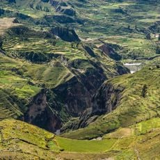
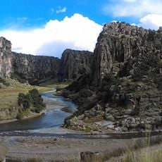
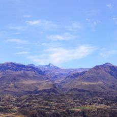
Caylloma District is an administrative region in Arequipa that spreads across mountainous terrain dotted with small communities. The area consists of multiple settlements distributed throughout this high-altitude landscape, each serving as a center for local life.

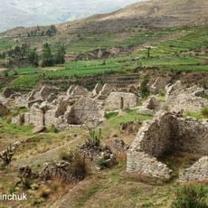
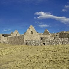
The area was originally home to the Collaguas and Cabanas peoples before becoming a major silver mining center under Spanish colonial rule. This shift from indigenous settlement to mining hub shaped the district's development for centuries.

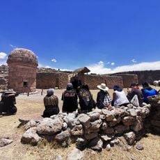
The district's communities maintain indigenous traditions in their daily life, with Quechua and Aymara languages heard throughout local markets and settlements. These languages reflect the deep roots of the population in the Andean highlands.

Reaching the district depends on road connections linking Arequipa to main towns like Chivay and Sibayo. Travelers should expect variable road conditions, especially during rainy months when weather can affect passage.

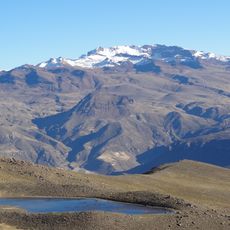
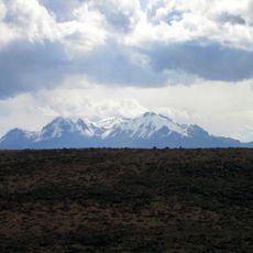
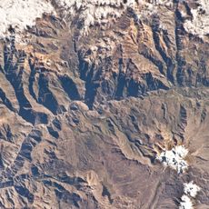
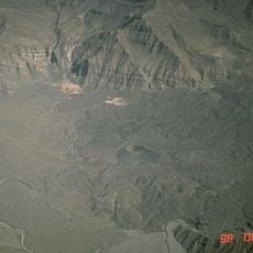
The territory spans a remarkable range of elevations and contains multiple administrative units as well as numerous smaller hamlets spread across the landscape. This scattered distribution across different altitudes creates varying living conditions throughout the district.

Location: Caylloma Province

Capital city: Caylloma

Elevation above the sea: 4,310 m

Shares border with: Chachas District, Cayarani District, Coporaque District, Suyckutambo District, Tisco District, Sibayo District, Tuti District, Lari District, Tapay District, Choco District

GPS coordinates: -15.19032,-71.77497

Latest update: December 8, 2025 13:43

Photos
Reviews

Visited this place? Tap the stars to rate it and share your experience / photos with the community! Try now! You can cancel it anytime.

« Caylloma District - Administrative district in Arequipa region, Peru » is provided by Around Us (aroundus.com). Images and texts are derived from Wikimedia project under a Creative Commons license. You are allowed to copy, distribute, and modify copies of this page, under the conditions set by the license, as long as this note is clearly visible.

Discover hidden gems everywhere you go!

From secret cafés to breathtaking viewpoints, skip the crowded tourist spots and find places that match your style. Our app makes it easy with voice search, smart filtering, route optimization, and insider tips from travelers worldwide. Download now for the complete mobile experience.

Around Us App Screenshot

A unique approach to discovering new places

Le Figaro

All the places worth exploring

France Info

A tailor-made excursion in just a few clicks

20 Minutes