
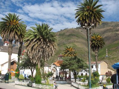
Virundo District, district in Apurímac, Peru
Location: Grau Province
Inception: June 12, 1985
Elevation above the sea: 3,845 m
Shares border with: Pataypampa District, Turpay District, Oropesa District, Huaquirca District
GPS coordinates: -14.25000,-72.68000
Latest update: April 4, 2025 21:49

Choquequirao
97.4 km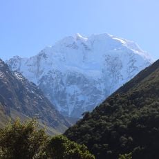
Salcantay
103.1 km
Waqrapukara
109.5 km
Sayhuite
79.3 km
Ampay National Sanctuary
78.1 km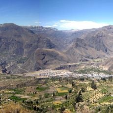
Cotahuasi Subbasin Landscape Reserve
92.8 km
Suntur
95.8 km
Puente Pachachaca
71 km
Cañón del Apurímac
93.4 km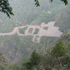
Choquequirao Regional Conservation Area
97.4 km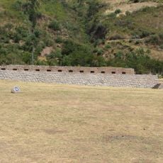
Tarahuasi
90.8 km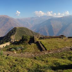
Inka Wasi (Apurímac)
91.4 km
Ampay
81.6 km
Our Lady of la Almudena Church
109.9 km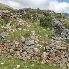
Yanaca
49.9 km
Awkiwatu
106.8 km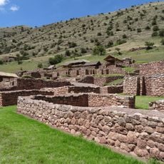
Mawk'allaqta
98 km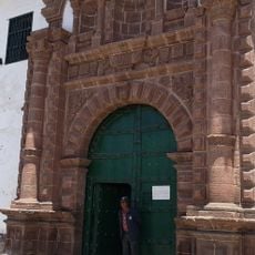
Hospital de la Almudena
109.9 km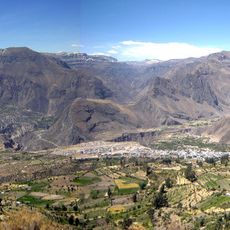
Huiñao
108.6 km
Araway Qhata
109.9 km
Virgin of the Rosary Cathedral, Abancay
71.5 km
Plazoleta de la Almudena
109.9 km
Huaca Curamba
85.9 km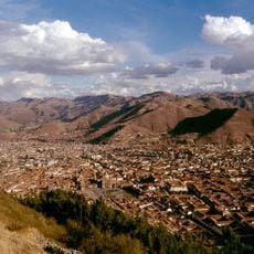
Anahuarque
108.4 km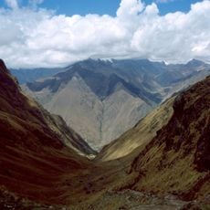
Mount Wayanay
107.9 km
Hatun Q'asa
99.3 km
Calle Almudena
110.2 km
Photowalk in Choquequirao de Pariachi taller antropología unmsm
97.5 kmReviews
Visited this place? Tap the stars to rate it and share your experience / photos with the community! Try now! You can cancel it anytime.
Discover hidden gems everywhere you go!
From secret cafés to breathtaking viewpoints, skip the crowded tourist spots and find places that match your style. Our app makes it easy with voice search, smart filtering, route optimization, and insider tips from travelers worldwide. Download now for the complete mobile experience.

A unique approach to discovering new places❞
— Le Figaro
All the places worth exploring❞
— France Info
A tailor-made excursion in just a few clicks❞
— 20 Minutes