Enable Location

We need your location to show you interesting places around you

Discover nearby places

Find interesting locations and hidden gems around you

Precise directions

Get accurate directions and distances to places

Your location is never shared with other users. It's only used when you tap the location button.

Calango District

Log in to your account

Start exploring — it's free

Trusted by 61,524 travelers worldwide

Continue with Google
Continue with Apple
or

We will send you a code to connect

By continuing, you accept our Terms and Conditions and our Privacy Policy

Check your inbox

We've sent a pincode in your inbox. Please enter the code below.

Calango District

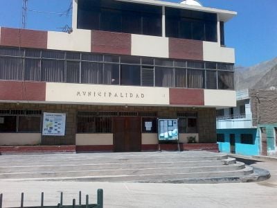
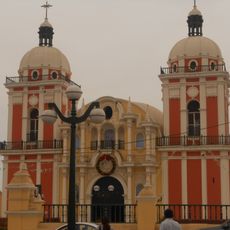
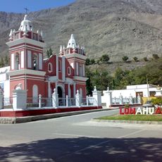
Calango District, Administrative district in Cañete Province, Peru.

Description

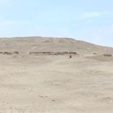
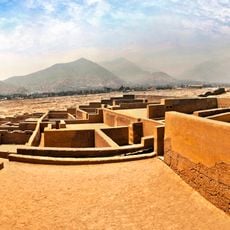
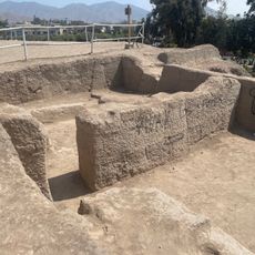
Calango District is an administrative area in Cañete Province, located in the southern part of Lima Region, covering a broad expanse of farmland. The terrain is relatively flat and consists mainly of agricultural fields where crops are grown throughout the year.

History

The district was formally established as an administrative unit in 1887 when it was incorporated into Cañete Province. This creation was part of broader efforts to organize the southern coastal regions during that period.

Culture

Agriculture shapes daily life here, with cotton, grapes, and tangerines as the main crops that people grow and sell. You will see these plants throughout the land and notice how farming rhythms guide the community's routines.

Practical

Bus services connect the district to Lima and San Vicente de Cañete throughout the day from main terminals. The best time to visit is during the dry season when roads are easier to travel and weather conditions are more favorable.

Did you know?

The area sits in a desert climate with very little rainfall, making agriculture entirely dependent on irrigation systems for water. This adaptation to dry conditions has shaped distinctive farming methods that locals have developed and passed down through generations.

Location
Elevation above the sea
305 m
Shares border with
Santo Domingo de los Olleros District, Mariatana District, Quinocay District, Omas District, Coayllo District, Mala District, Santa Cruz de Flores District, Chilca District
GPS coordinates
-12.52634,-76.54379
Latest update
December 10, 2025 15:52

AroundUs brings together thousands of curated places, local tips, and hidden gems, enriched daily by 60,000 contributors worldwide. Discover all places nearby (Cañete Province).

« Calango District - Administrative district in Cañete Province, Peru » is provided by Around Us (aroundus.com). Images and texts are derived from Wikimedia project under a Creative Commons license. You are allowed to copy, distribute, and modify copies of this page, under the conditions set by the license, as long as this note is clearly visible.

Discover hidden gems everywhere you go!

From secret cafés to breathtaking viewpoints, skip the crowded tourist spots and find places that match your style. Our app makes it easy with voice search, smart filtering, route optimization, and insider tips from travelers worldwide. Download now for the complete mobile experience.

Around Us App Screenshot

A unique approach to discovering new places

Le Figaro

All the places worth exploring

France Info

A tailor-made excursion in just a few clicks

20 Minutes

Around Us
Travel Guide & Maps
Download

Send to your phone

QR Code
1

Open the camera app on your mobile.

2

Point at the QR code with your camera. A notification will appear.

3

Tap the notification to open the link.