Chest opened
+${chestReward.xp} XP
Explorer
NOUVEAU ×${chestReward.collectible.quantity}
tapez pour fermer
Chest locked

Open chests in the app

Around Us is built for your phone — chests unlock when you walk, explore and capture nearby places.

Enable Location

We need your location to show you interesting places around you

Discover nearby places

Find interesting locations and hidden gems around you

Precise directions

Get accurate directions and distances to places

Your location is never shared with other users. It's only used when you tap the location button.

Paseo de la República, Lima

Log in to your account

Start exploring — it's free

Trusted by 72,978 travelers worldwide

Continue with Google
Continue with Apple
or

We will send you a code to connect

By continuing, you accept our Terms and Conditions and our Privacy Policy

Check your inbox

We've sent a pincode in your inbox. Please enter the code below.

Paseo de la República, Lima
Discussion Reviews 1 Photos
20.2k Popularity

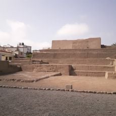
Paseo de la República, Lima, avenue in Lima, Peru

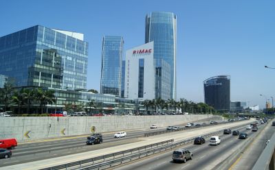
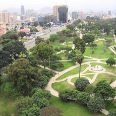
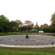
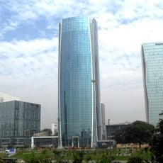
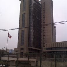
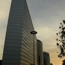
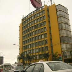
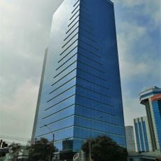
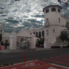
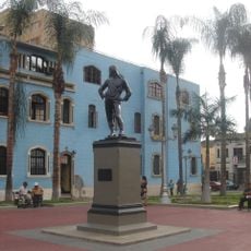
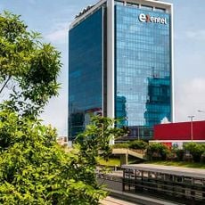
Paseo de la República is a wide express avenue running through multiple Lima districts, designed for fast vehicle traffic with multiple lanes and dedicated bus corridors. The street features overpasses, pedestrian bridges, parks with trees and benches, and a mix of modern glass towers alongside older buildings from different eras.

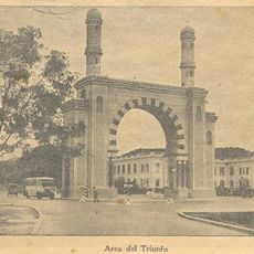
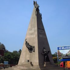
The route follows a railway line built in the 1800s connecting Lima to Chorrillos, which was transformed into an express avenue starting in 1966 under Mayor Luis Bedoya Reyes. This became one of the country's first large-scale high-capacity roads, marking a shift toward modern urban planning and connectivity.

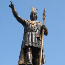
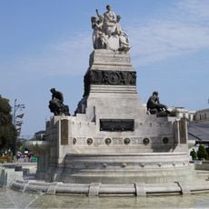
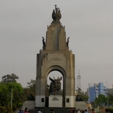
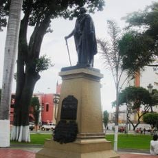
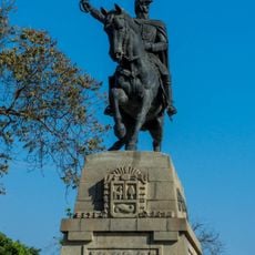
The avenue honors a former mayor and reflects Lima's transformation into a modern city. Murals and monuments line the route, connecting residents to Peru's history while the street serves as a gathering place during national celebrations and local events.

The avenue is easily accessible by taxi, the Metropolitano bus system, and public transportation, connecting various neighborhoods throughout Lima. Pedestrians should use designated crossings, pedestrian bridges, and overpasses to navigate safely across the multiple lanes.

The street was originally a deep trench, earning it the local nickname 'Zanjón' which residents still use today. This unusual multi-level design with overpasses was an innovative solution to handle Lima's traffic needs in the mid-20th century.

The community of curious travelers

AroundUs brings together thousands of curated places, local tips, and hidden gems, enriched daily by 60,000 contributors worldwide.

Start exploring
Location
GPS coordinates
-12.07904,-77.02789
Latest update
February 16, 2026 22:00
Reviews
Share your experience

No review yet

Discussions
Start a discussion...

No discussion yet

« Paseo de la República, Lima - avenue in Lima, Peru » is provided by Around Us (aroundus.com). Images and texts are derived from Wikimedia project under a Creative Commons license. You are allowed to copy, distribute, and modify copies of this page, under the conditions set by the license, as long as this note is clearly visible.

Discover hidden gems everywhere you go!

From secret cafés to breathtaking viewpoints, skip the crowded tourist spots and find places that match your style. Our app makes it easy with voice search, smart filtering, route optimization, and insider tips from travelers worldwide. Download now for the complete mobile experience.

Around Us App Screenshot

A unique approach to discovering new places

Le Figaro

All the places worth exploring

France Info

A tailor-made excursion in just a few clicks

20 Minutes

Around Us
Travel Guide & Maps
Download

Send to your phone

QR Code
1

Open the camera app on your mobile.

2

Point at the QR code with your camera. A notification will appear.

3

Tap the notification to open the link.