
Yanahuaya District, district in Puno, Peru
Location: Sandia Province
Elevation above the sea: 1,550 m
Shares border with: Quiaca District, Sandia District, Alto Inambari District, San Juan del Oro District, Sina District
GPS coordinates: -14.25663,-69.17304
Latest update: April 4, 2025 19:10
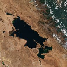
Titicaca
175.4 km
Tambopata National Reserve
149.2 km
Madidi National Park and Integrated Management Natural Area
91 km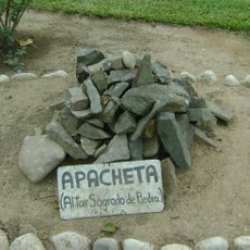
Apachita
68.6 km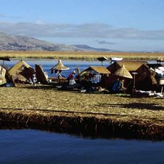
Titicaca National Reservation
182.8 km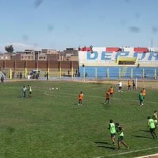
Estadio Guillermo Briceño Rosamedina
172.3 km
Chalalan
136.7 km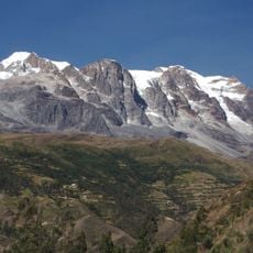
Illampu
186.3 km
Suches River
106.5 km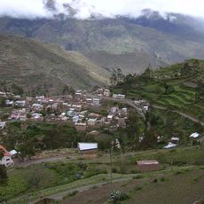
Apolobamba Integrated Management Natural Area
90.4 km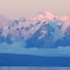
Janq'u Uma
190.4 km
Iskanwaya
147.9 km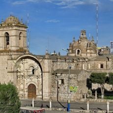
Santa Catalina de Siena
172.2 km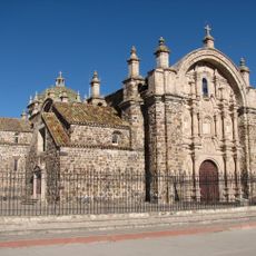
Templo de Santiago Apostol de Lampa
178.1 km
Qulu Qulu
49.8 km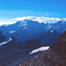
Chaupi Orco
42.4 km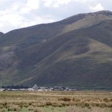
Pukarani
162.8 km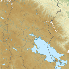
Intikancha
167.2 km
Puerto Acosta Municipality
138.4 km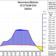
Mocomoco Municipality
129.5 km
Jach'a Waracha
69.3 km
Machu Such'i Qhuchi
54.9 km
Chuma Municipality
141.1 km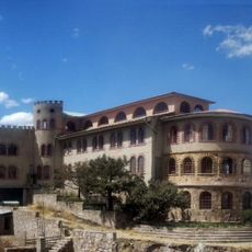
Convento Franciscano de Juliaca
172.2 km
Palomani
51.8 km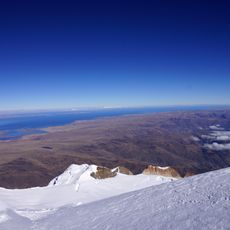
Jach'a Pukara
185.4 km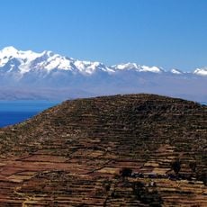
Ch'uch'u
172.1 km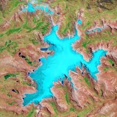
Pata Anjasi
175.1 kmReviews
Visited this place? Tap the stars to rate it and share your experience / photos with the community! Try now! You can cancel it anytime.
Discover hidden gems everywhere you go!
From secret cafés to breathtaking viewpoints, skip the crowded tourist spots and find places that match your style. Our app makes it easy with voice search, smart filtering, route optimization, and insider tips from travelers worldwide. Download now for the complete mobile experience.

A unique approach to discovering new places❞
— Le Figaro
All the places worth exploring❞
— France Info
A tailor-made excursion in just a few clicks❞
— 20 Minutes