Cunas River, Brook in Province of Huancayo, Peru
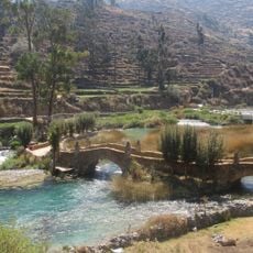
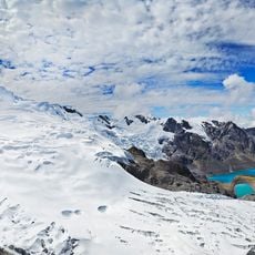
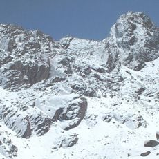
Cunas River rises at Runapa-Huañunán lagoon at 4,535 m near the Cañete watershed divide in the Cordillera Occidental and runs 101.1 km southwest to northeast. It crosses Chupaca, Concepción and Huancayo provinces, re-enters Chupaca in a U-shaped bend, and empties into the Mantaro at about 3,220 m, forming the boundary between Pilcomayo and Huamancaca Chico districts.
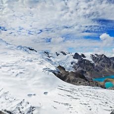
The Cunas rises at the Runapa-Huañunán lagoon at 4,535 m near the Cañete watershed divide, though other measurements place its source at 5,180 m in the Cordillera Occidental. It runs 101.1 km through the provinces of Chupaca, Concepción and Huancayo, re-entering Chupaca to form a U, and empties into the Mantaro at about 3,220 m between Pilcomayo and Huamancaca Chico.
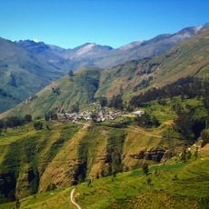
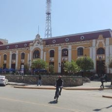
The Cunas crosses the provinces of Chupaca, Concepción and Huancayo, and Chupaca is the main city on its route. Its valley, part of the Mantaro basin, is one of the main food suppliers to Lima, so the river's water is tied to irrigation farming. Near its mouth it forms the boundary between the districts of Pilcomayo and Huamancaca Chico.
The valley around the river is easiest to reach from the city of Huancayo, which offers nearby roads. Visitors should expect variable mountain weather and bring appropriate clothing for highland conditions.
The Cunas rises at the Runapa-Huañunán lagoon at 4,535 m, near the watershed dividing it from the Cañete River, while other figures put its source at 5,180 m in the Cordillera Occidental. It runs 101.1 km southwest to northeast, crossing Chupaca, Concepción and Huancayo provinces before re-entering Chupaca and forming a U.
The community of curious travelers
AroundUs brings together thousands of curated places, local tips, and hidden gems, enriched daily by 93,434 contributors worldwide.