
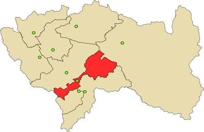
Orcotuna District, district in Junín, Peru
Location: Concepción Province
Capital city: Orcotuna
Elevation above the sea: 3,250 m
Shares border with: Mito District, San Jerónimo de Tunán District, San Pedro de Saño District, Sicaya District, Manzanares District, Aco District
GPS coordinates: -11.96892,-75.30930
Latest update: March 12, 2025 14:35
Nor Yauyos-Cochas Landscape Reserve
60.6 km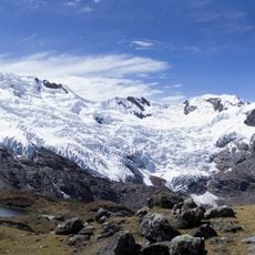
Huaytapallana
28.6 km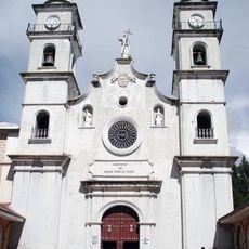
Colegio de Propaganda Fide de Santa Rosa de Ocopa
10.7 km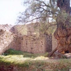
Wari Willka
20 km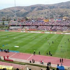
Estadio Huancayo
16.4 km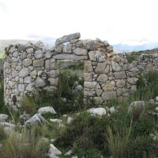
Tunanmarka
42 km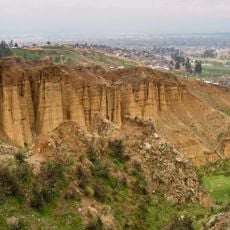
Torre Torre
17.2 km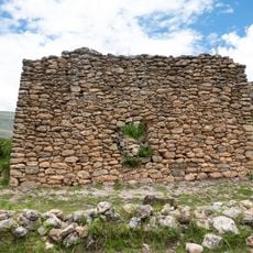
Arwaturo
11.8 km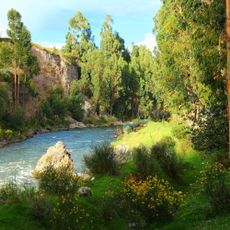
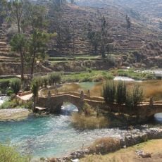
Cunas River
21.8 km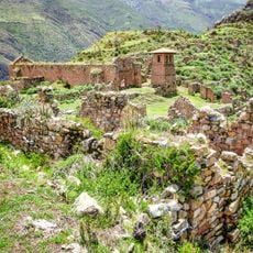
Pueblo Antiguo de Huaquis
66.1 km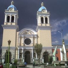
Iglesia María Inmaculada
15.9 km
Iglesia de la Merced
15.2 km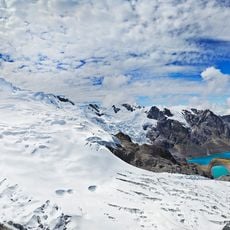
Huaytapallana Regional Conservation Area
30.9 km
Plaza Huamanmarca
15.8 km
Sima Pumacocha
63.4 km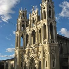
Capilla Cristo Pobre
29.6 km
Puente Centenario
15 km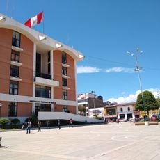
Centro Cívico de Huancayo
15.8 km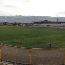
Estadio Mariscal Castilla
12.8 km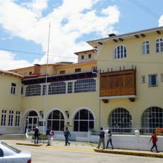
Hotel de Turistas de Huancayo
15.8 km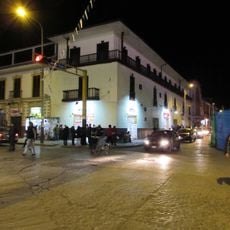
Hotel Tívoli
15.4 km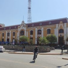
Coliseo Municipal de Huancayo
15.9 km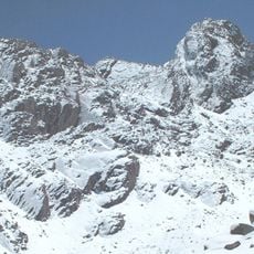
Wamp'una
64.8 km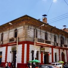
Casa Calixto
15.8 km
Casa del poeta Juan Parra del Riego
15.4 km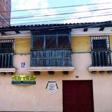
Casa del pintor Guillermo Guzmán Manzaneda
15.2 km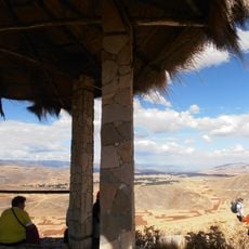
Tunanmarca
41.9 km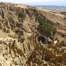
Wawi Wawi
7 kmReviews
Visited this place? Tap the stars to rate it and share your experience / photos with the community! Try now! You can cancel it anytime.
Discover hidden gems everywhere you go!
From secret cafés to breathtaking viewpoints, skip the crowded tourist spots and find places that match your style. Our app makes it easy with voice search, smart filtering, route optimization, and insider tips from travelers worldwide. Download now for the complete mobile experience.

A unique approach to discovering new places❞
— Le Figaro
All the places worth exploring❞
— France Info
A tailor-made excursion in just a few clicks❞
— 20 Minutes