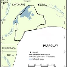
Bolivia–Brazil border, International border between Bolivia and Brazil, South America
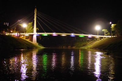
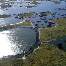
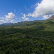
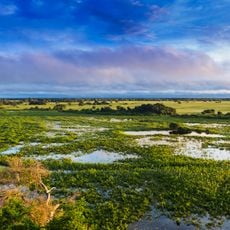
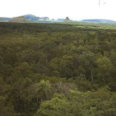
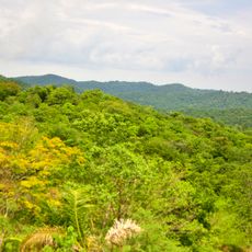
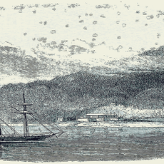
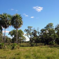
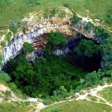
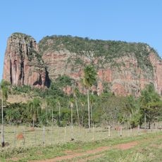
The Bolivia-Brazil border stretches across roughly 3,400 kilometers through varied environments. This boundary cuts through Amazon rainforest and wetlands, with several major rivers forming natural dividing lines between the two countries.
The current border was established by the Treaty of Petropolis in 1903, when Brazil gained control of the Acre territory. In return, Brazil paid Bolivia financial compensation for this land adjustment.
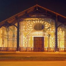
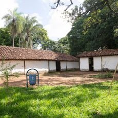
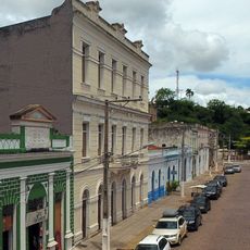
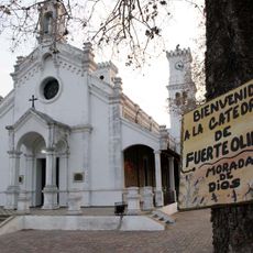
Communities near the border celebrate shared festivals and gather at local markets where Bolivian and Brazilian traditions blend naturally. Families on both sides maintain similar crafts and cooking methods that reflect their mixed heritage.
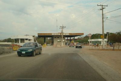
Travelers must carry valid passports at border checkpoints, with major crossing points near Corumbá and Puerto Quijarro. Conditions vary seasonally depending on weather and water levels in the rainforest and wetland areas.
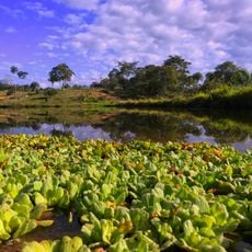
The border region is defined by several river systems that serve as natural boundaries and important waterways for local transport. These water routes enable trade and movement between communities on both sides of the dividing line.
The community of curious travelers
AroundUs brings together thousands of curated places, local tips, and hidden gems, enriched daily by 60,000 contributors worldwide.