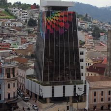
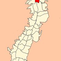
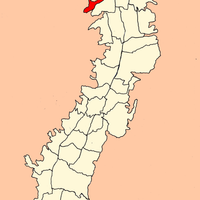
Quito Metro, Metropolitan district in Pichincha province, Ecuador
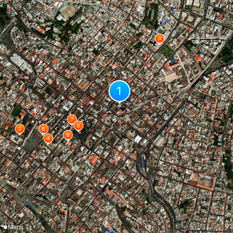
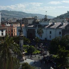
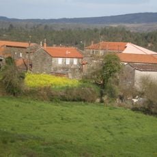
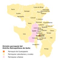
The Metropolitan District of Quito stretches across thirty-two urban parishes and thirty-three rural ones at an elevation of two thousand eight hundred thirty-nine meters (9,314 feet) above sea level. Nine administrative zones organize these parishes in a system that connects urban centers with mountain villages and agricultural areas.
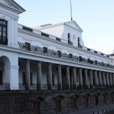
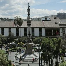
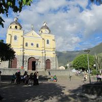
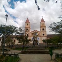
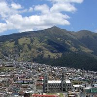
The district was founded on December sixth, fifteen thirty-four, as a Spanish colonial settlement and later grew into the capital of Ecuador. During the twentieth century, it expanded its boundaries gradually to include surrounding rural areas.
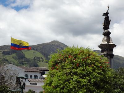
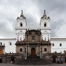
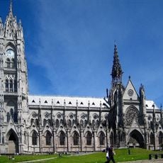
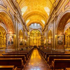
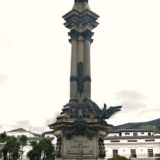
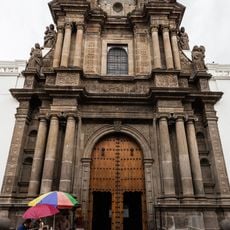
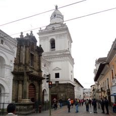
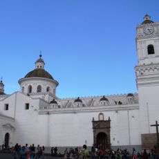
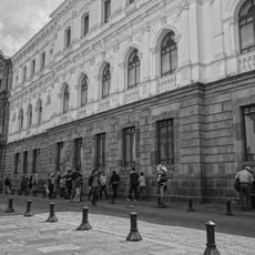
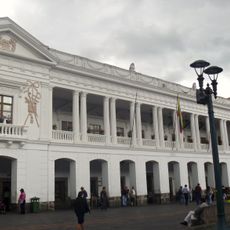
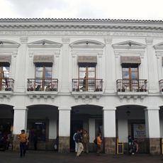
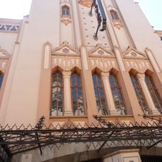
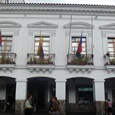
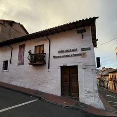
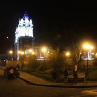
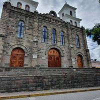
The district preserves numerous pre-Columbian and colonial structures, leading UNESCO to declare its historical center as the first World Heritage Site in 1978.
A twenty-two-kilometer (13.7-mile) metro line links northern and southern neighborhoods and complements the existing bus network. The high elevation can cause shortness of breath for visitors, so it helps to adjust slowly to the conditions.
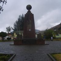
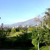
The location near the equator produces consistent twelve-hour days and unchanging daylight length throughout the year. Temperatures remain spring-like, without marked seasons or large swings between day and night.
The community of curious travelers
AroundUs brings together thousands of curated places, local tips, and hidden gems, enriched daily by 60,000 contributors worldwide.