
Municipality of Pan de Azúcar, municipality of Uruguay
Location: Maldonado Department
Inception: March 15, 2010
Capital city: Pan de Azúcar
GPS coordinates: -34.77569,-55.22331
Latest update: April 21, 2025 12:33
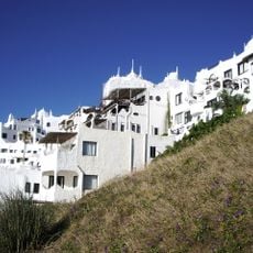
Casapueblo
22 km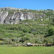
Cerro Pan de Azúcar
5 km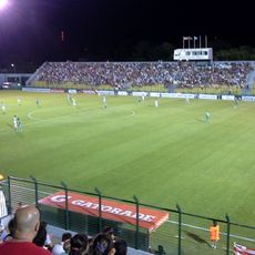
Estadio Domingo Burgueño
29 km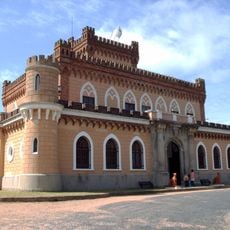
Castillo de Piria
6.4 km
Chihuahua Beach
16.6 km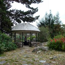
Arboretum Lussich
20.9 km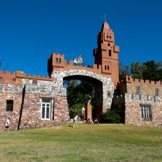
Castillo Pittamiglio, Las Flores
9.8 km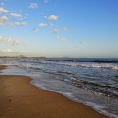
Jaureguiberry
16.4 km
Cerro de las Ánimas
9.4 km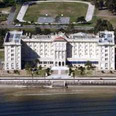
Argentino Hotel
11 km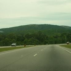
Cerro San Antonio
12.3 km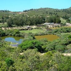
Cerro Pan de Azúcar Native Fauna and Flora Breeding Station
5 km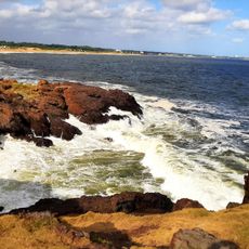
Punta Ballena
22.4 km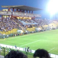
Campus Municipal de Maldonado
28.9 km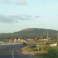
Cerro de los Burros
12.2 km
Museo Ralli Punta del Este
32 km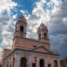
Cathedral of Maldonado
28.3 km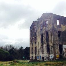
Molino Lavagna
26.4 km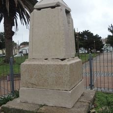
Marco de los Reyes, Maldonado
28.3 km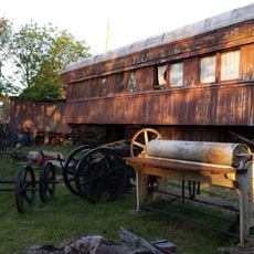
Museo ferroviario de Piriápolis
10.9 km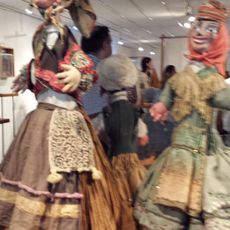
Museo Vivo del Títere
28.4 km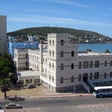
Hotel Piriápolis
11.1 km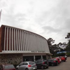
Cine Teatro Cantegril
30.3 km
Centro de detención del Batallón de Ingenieros No. 4
16 km
Museo Didáctico Artiguista
28.4 km
Cuartel o Cuartelillo Militar de Maldonado
28.5 km
Cuartel de Dragones
28.4 km
Plaza Artigas
28.5 kmReviews
Visited this place? Tap the stars to rate it and share your experience / photos with the community! Try now! You can cancel it anytime.
Discover hidden gems everywhere you go!
From secret cafés to breathtaking viewpoints, skip the crowded tourist spots and find places that match your style. Our app makes it easy with voice search, smart filtering, route optimization, and insider tips from travelers worldwide. Download now for the complete mobile experience.

A unique approach to discovering new places❞
— Le Figaro
All the places worth exploring❞
— France Info
A tailor-made excursion in just a few clicks❞
— 20 Minutes