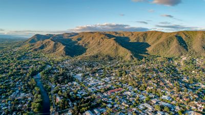
Santa Rosa de Calamuchita, Mountain municipality in Calamuchita Valley, Argentina
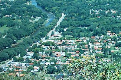
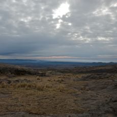
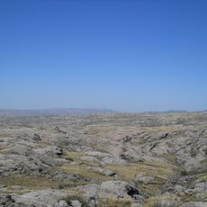
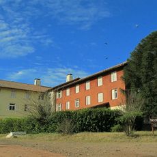
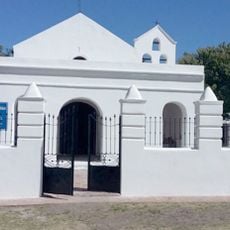
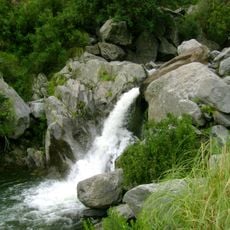
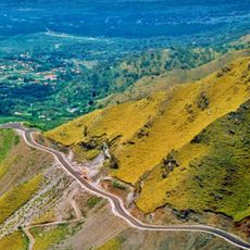
Santa Rosa de Calamuchita is a village in the Calamuchita Valley in Córdoba Province, set on sloping terrain near a river. Mountain ranges surround the settlement and feed multiple waterways that shape the green landscape.
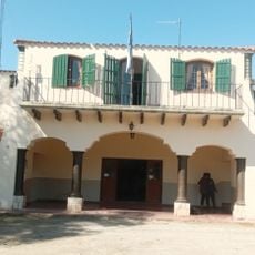
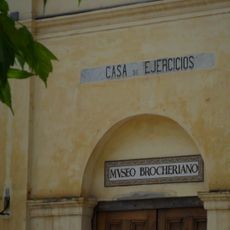
The settlement was founded on December 10, 1877, and developed as a center for the Calamuchita region. This establishment shaped how the place is organized and its role in the area.
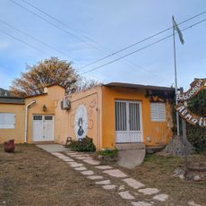
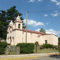
The town maintains deep roots in farming, visible in daily markets and local practices. People here celebrate their heritage through regular gatherings featuring regional music and traditional food.
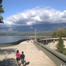
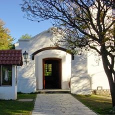
The village offers river beaches and swimming spots, especially during warm months. Accommodations and dining options remain available year-round, making visits possible in any season.
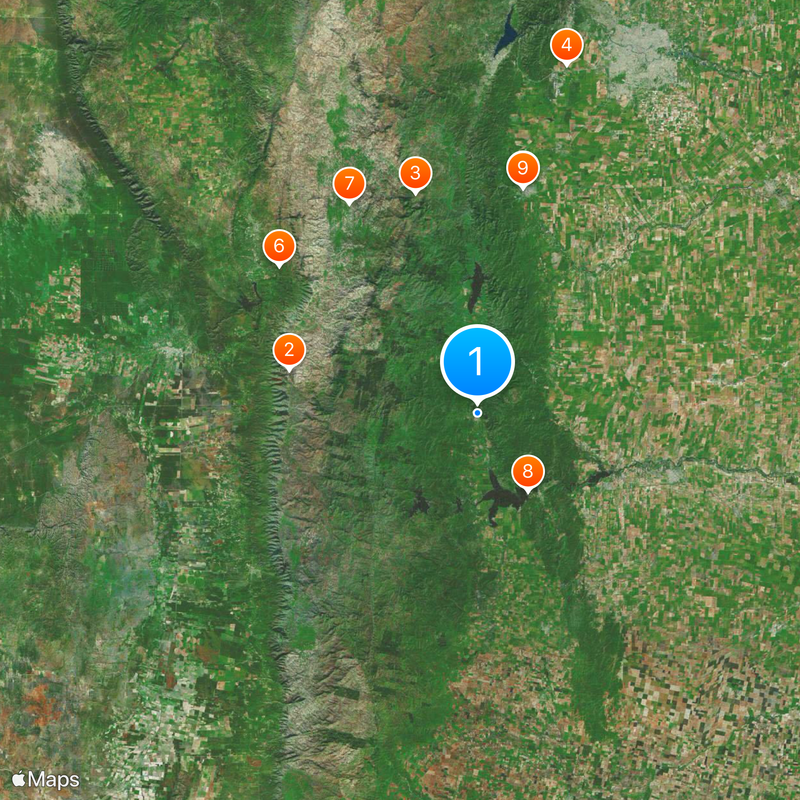
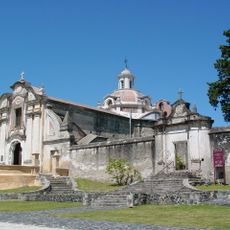
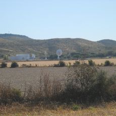
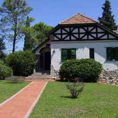
The village sits between the Embalse nuclear power station and Villa General Belgrano, a settlement with German influences. Visitors can easily explore both places and experience their different character.
Location: Calamuchita Department
Inception: December 10, 1877
Elevation above the sea: 583 m
Website: https://municipiosantarosa.gob.ar
GPS coordinates: -32.06667,-64.53333
Latest update: December 7, 2025 09:22
Mount Champaquí
39 km
Quebrada del Condorito National Park
46.3 km
La Perla Córdoba
72.8 km
Jesuit Block and Estancias of Córdoba
46.6 km
Rocsen Multifaceted Museum
49.8 km
Pampa de Achala
49.7 km
Unidad Turística Embalse
18.6 km
Estancia Jesuitica Alta Gracia
46.5 km
Museo Casa del Che Guevara
47.3 km
Teófilo Tabanera Space Center
60.6 km
Capilla de Tegua
68 km
La Viña Dam
52.1 km
Villa Dolores Airport
59.4 km
Museum of the Bells
58.6 km
Mining School of José de la Quintana Senador Luis Carnevale
31.3 km
Serpentario Machaqway
50.3 km
Argentina Air Force Museum
74.8 km
Estacion de Tren, Almafuerte, Cordoba
30.4 km
Museo del Libro
49.8 km
Pasos Malos
50.1 km
Biblioteca Popular Almafuerte
631 m
Museo Manuel De Falla
46.9 km
Reducción de Alta Gracia
46.5 km
La iglesia y sacristía; la casa vivienda (hoy llamada Casa del Virrey), el obraje, el mirador o miramar, el tajamar y las ruinas de lo que fueron el viejo molino y batanes de la Estancia Jesuítica de Alta Gracia.
46.5 km
Capilla, Colegio y C.de Ejer.Esp.de Cura Brochero
61 km
Museo de Arte Religioso Santa Rosa de Lima
537 m
Capilla del Rosario de Piedra Blanca
54.6 km
Mirador del Sol
51.2 kmVisited this place? Tap the stars to rate it and share your experience / photos with the community! Try now! You can cancel it anytime.
Discover hidden gems everywhere you go!
From secret cafés to breathtaking viewpoints, skip the crowded tourist spots and find places that match your style. Our app makes it easy with voice search, smart filtering, route optimization, and insider tips from travelers worldwide. Download now for the complete mobile experience.
A unique approach to discovering new places❞
— Le Figaro
All the places worth exploring❞
— France Info
A tailor-made excursion in just a few clicks❞
— 20 Minutes