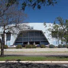
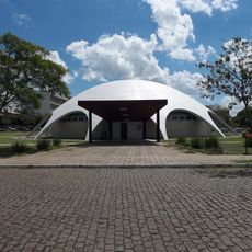
Santa Maria, Educational center in Rio Grande do Sul, Brazil.
Santa Maria is a municipality in Rio Grande do Sul that sits at an elevation of 113 meters above sea level and covers an area of 1823 square kilometers. The population reached 283677 residents in 2020, distributed across ten administrative districts.
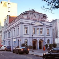
The territory began in 1797 as a military camp established to mark boundaries between Portuguese and Spanish territories in South America. The settlement officially gained municipality status in December 1857 and grew into a regional center.
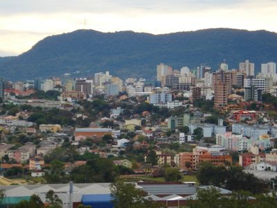
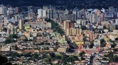
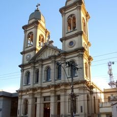
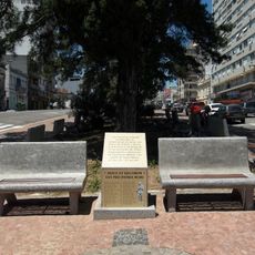
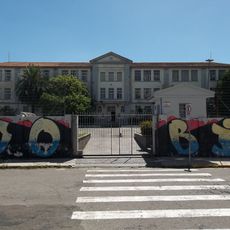
The city takes its name in honor of the Virgin Mary and residents maintain ties to local military traditions through monuments and public squares. Visitors can observe the presence of students in cafés and bookstores, where young people gather to study and exchange ideas.
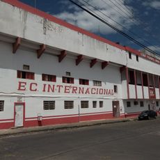
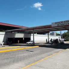
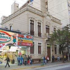
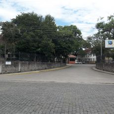
The central district divides into 41 neighborhoods, each offering its own shops and services, while the remaining districts lie further out. A car or public transport helps reach more distant areas, though the center remains walkable.
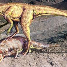
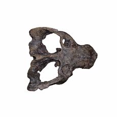
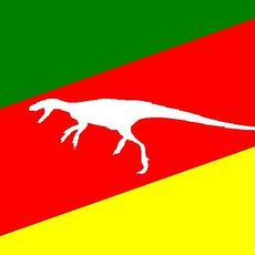
The surrounding area gained importance as the location where researchers discovered the first dinosaur fossils in Brazil, making the region a reference point for paleontological studies. This discovery attracted scientists from different countries who continue searching for remains from prehistoric times.
Location: Rio Grande do Sul
Inception: 1857
Elevation above the sea: 113 m
Shares border with: Itaara, Dilermando de Aguiar, São Martinho da Serra, São Sepé, Júlio de Castilhos, São Gabriel, Restinga Sêca, Silveira Martins, Formigueiro, São Pedro do Sul
Website: https://santamaria.rs.gov.br
GPS coordinates: -29.68389,-53.80694
Latest update: December 12, 2025 22:51
Sanga da Alemoa
3.9 km
Catedral de Nossa Senhora da Conceição
158 m
Estádio Presidente Vargas
1.9 km
Paleontological Sites of Santa Maria
1.7 km
Rota turística e gastronômica Santa Maria - Silveira Martins
17.1 km
Estação Rodoviária de Santa Maria
2.2 km
Paleorrota
3.9 km
Paleontological Site Arroio Cancela
1.7 km
Basilica Shrine of Our Lady Mediatrix of All Graces
1.8 km
Avenida Rio Branco
230 m
Theatro Treze de Maio
213 m
Museu Gama D'Eça
366 m
Planetário da UFSM
9.6 km
Museum Vincente Pallotti
2.9 km
Paleontological Site Jazigo Cinco
4 km
Comunidade Arnesto Penna Carneiro
27.1 km
Parque Itaimbé
421 m
Instituto Estadual de Educação Olavo Bilac
914 m
Gare da Viação Férrea
706 m
Casa Geminada da Vila Belga à Rua Coronel Ernesto Beck, nº 2046
525 m
Museu Diácono João Luiz Pozzobon
2.8 km
Casa Geminada da Vila Belga à Rua Coronel Ernesto Beck, nº 2117
496 m
Casa Geminada da Vila Belga à Rua Manoel Ribas, nº 1979
607 m
Antigos Depósitos da RFFSA
617 m
Casa Geminada da Vila Belga à Rua André Marques, nº 111
497 m
Museu Educativo Gama d’Eça
966 m
Paleontological Site Largo Padre Daniel Cargnin
2.3 km
0104/2009
31.9 kmVisited this place? Tap the stars to rate it and share your experience / photos with the community! Try now! You can cancel it anytime.
Discover hidden gems everywhere you go!
From secret cafés to breathtaking viewpoints, skip the crowded tourist spots and find places that match your style. Our app makes it easy with voice search, smart filtering, route optimization, and insider tips from travelers worldwide. Download now for the complete mobile experience.
A unique approach to discovering new places❞
— Le Figaro
All the places worth exploring❞
— France Info
A tailor-made excursion in just a few clicks❞
— 20 Minutes