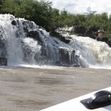
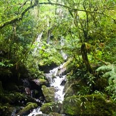
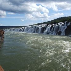
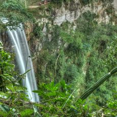
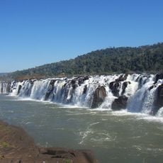
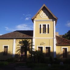
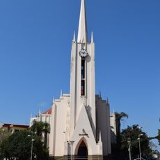
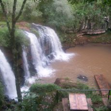
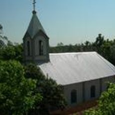
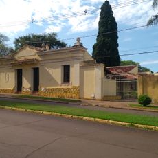
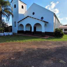
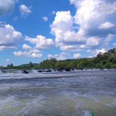
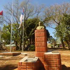
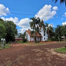
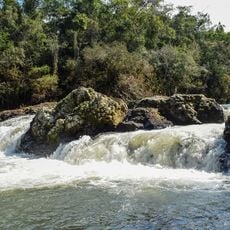
Derrubadas, municipality of Brazil
Location: Rio Grande do Sul
Inception: March 20, 1992
Elevation above the sea: 485 m
Shares border with: Esperança do Sul
Website: http://derrubadas-rs.com.br
GPS coordinates: -27.26500,-53.86083
Latest update: March 6, 2025 12:06
Moconá Waterfalls
13.8 km
Reserva de la biosfera Yabotí
33 km
Reserva natural estricta San Antonio
139.4 km
Turvo State Park
8.2 km
Parque Provincial Salto Encantado
98.5 km
Parque provincial Moconá
13.8 km
Antiga Estação Férrea de Santo Ângelo
121.6 km
Catedral San Antonio de Padua
126.8 km
Parque Provincial de la Araucaria
74.6 km
Parque provincial Cruce Caballero
89.5 km
Salto Capioví
124.9 km
Saints Peter and Paul Orthodox church in Santa Rosa
90 km
Provincial Route 17
106.9 km
Estádio da Zona Sul
123.1 km
Mosteiro da Transfiguração
86.2 km
Salto Krysiuk
132.9 km
Igreja do Apóstolo João Evangelista (Campina das Missões)
127 km
Museu Municipal Dr. José Olavo Machado
122.4 km
Monumento natural Árbol Timbó de Jardín América
137.5 km
Capilla Santa Cecilia
119.2 km
Salto do Roncador
119.9 km
Plaza San Martín
126.9 km
Capela Verzeri
122.1 km
Salto do Yucumã
12.7 km
Museo Municipal Adolfo Julio Schwelm
125.8 km
Iglesia Evangélica Suiza
123.1 km
Estación de Servicio Feltan
29.2 km
Salto Paraíso
18.2 kmReviews
Visited this place? Tap the stars to rate it and share your experience / photos with the community! Try now! You can cancel it anytime.
Discover hidden gems everywhere you go!
From secret cafés to breathtaking viewpoints, skip the crowded tourist spots and find places that match your style. Our app makes it easy with voice search, smart filtering, route optimization, and insider tips from travelers worldwide. Download now for the complete mobile experience.
A unique approach to discovering new places❞
— Le Figaro
All the places worth exploring❞
— France Info
A tailor-made excursion in just a few clicks❞
— 20 Minutes