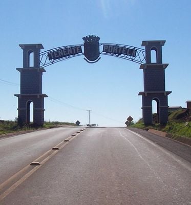
Tenente Portela, Municipality in Rio Grande do Sul, Brazil
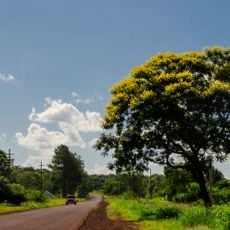
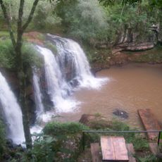
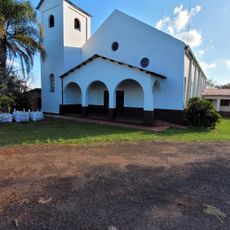
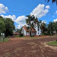
Tenente Portela is a municipality in the northwestern region of Rio Grande do Sul, located at an elevation of 390 meters. The area is primarily rural, with farmland and small settlements scattered across the landscape.
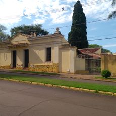
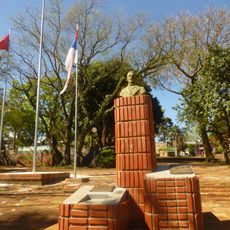
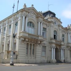
The municipality was officially established on August 18, 1955, during a period of administrative reorganization in southern Brazil. This founding was part of broader efforts to restructure municipal divisions across the region.
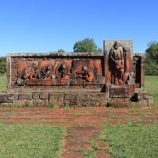
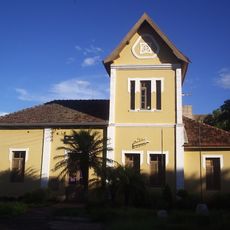
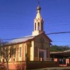
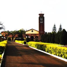
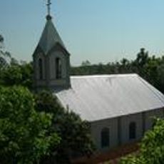
The community preserves traditions through regional festivals and farming practices that reflect life in Rio Grande do Sul. Visitors can experience the rural way of life and local customs that shape daily activities here.
The best time to visit is during the dry season, when roads are in better condition and accessibility is at its peak. The area is accessible by road, with the nearest major city located to the south.
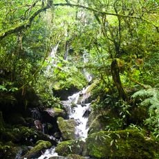
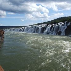
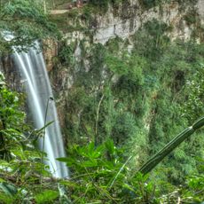
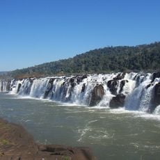
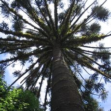
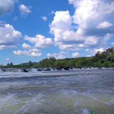
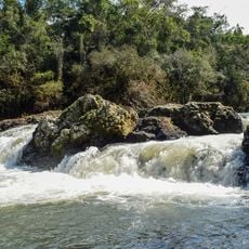
The municipality sits at the intersection of different climate zones, influencing the local plants and wildlife. This transitional location has shaped both the ecosystem and farming patterns of the area.
The community of curious travelers
AroundUs brings together thousands of curated places, local tips, and hidden gems, enriched daily by 60,000 contributors worldwide.