Candelária, Municipality in Rio Grande do Sul, Brazil.
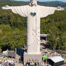
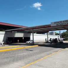
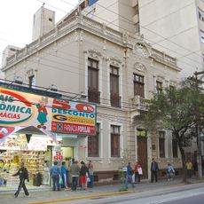
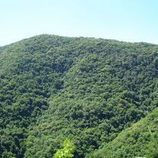
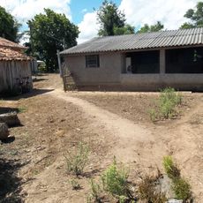
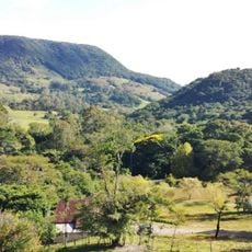
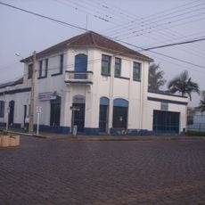
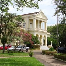
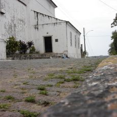
Candelária is a municipality in Rio Grande do Sul located in southern Brazil and spreads across rolling terrain in a region with deep historical roots. The administrative center forms the economic and social core of the community.
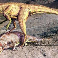
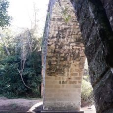
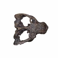
The area was an important location for geological and paleontological discoveries in the past. Local fossil deposits document Earth's history from distant ages.
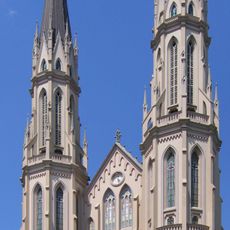
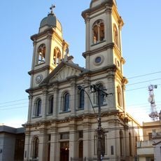
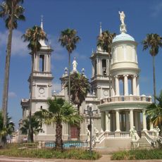
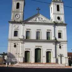
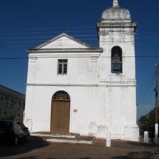
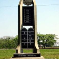
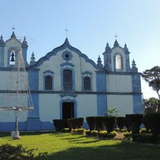
The settlement carries the name of a Christian saint, reflecting the strong Catholic tradition rooted in Rio Grande do Sul. Residents share customs and celebrations that echo the cultural heritage of this southern region.
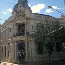
Visitors can explore the central areas on foot and find administrative information at the municipal offices. The best time to visit is during the drier months when roads and pathways are most accessible.
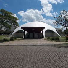
A local museum holds important fossils from the Triassic age, including rare specimens of early vertebrate forms. Researchers work at excavation sites to understand how these ancient animals evolved.
The community of curious travelers
AroundUs brings together thousands of curated places, local tips, and hidden gems, enriched daily by 60,000 contributors worldwide.