Enable Location

We need your location to show you interesting places around you

Discover nearby places

Find interesting locations and hidden gems around you

Precise directions

Get accurate directions and distances to places

Your location is never shared with other users. It's only used when you tap the location button.

Abra del Acay

Log in to your account

Start exploring — it's free

Trusted by 62,836 travelers worldwide

Continue with Google
Continue with Apple
or

We will send you a code to connect

By continuing, you accept our Terms and Conditions and our Privacy Policy

Check your inbox

We've sent a pincode in your inbox. Please enter the code below.

Abra del Acay

Abra del Acay, Mountain pass in Salta Province, Argentina.

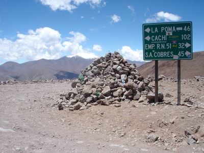
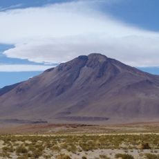
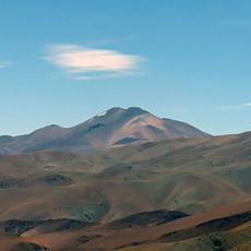
Abra del Acay is a mountain pass in Salta Province that sits at about 4,960 meters (16,270 ft) elevation, making it Argentina's highest navigable point on Route 40. The road follows a narrow gravel track that winds through harsh mountain terrain.

Construction of the pass road began in 1943 and was completed in 1960, opening a high-altitude route through the mountains. This project required cooperation between Argentina's national roads authority and the provincial government.

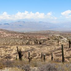
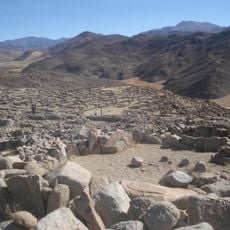
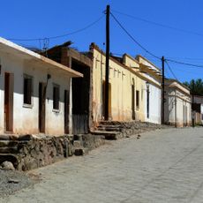
The pass connects wine-growing valleys below with the high plateau above, showing how communities have linked these distant regions through trade and travel. Local people have used this route for generations as a bridge between the lower valleys and the upper plains.

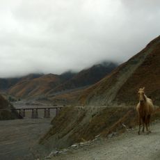
Travelers should arrive with repair equipment, food, water, and a full fuel tank since services are scarce and mobile coverage is absent in the area. A drive through this region demands a capable vehicle, thorough preparation, and plenty of time.

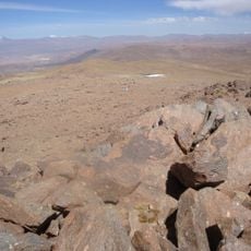
At this elevation, the air becomes so thin that travelers notice real physical exhaustion, made worse by the constant intense winds. This raw natural experience makes the pass memorable in ways that few other mountain journeys can match.

The community of curious travelers

AroundUs brings together thousands of curated places, local tips, and hidden gems, enriched daily by 60,000 contributors worldwide.

Start exploring
Location
GPS coordinates
-24.43673,-66.23912
Latest update
December 6, 2025 16:02
Natural landscapes in northwest Argentina

Northwest Argentina is a region where deserts, wine regions and Andean valleys coexist. Salt flats, striking rock formations, pre-Columbian sites and traditional mountain villages define this landscape. The terrain shifts between bare highlands, colorful mountain ranges and green valleys where small...

« Abra del Acay - Mountain pass in Salta Province, Argentina » is provided by Around Us (aroundus.com). Images and texts are derived from Wikimedia project under a Creative Commons license. You are allowed to copy, distribute, and modify copies of this page, under the conditions set by the license, as long as this note is clearly visible.

Discover hidden gems everywhere you go!

From secret cafés to breathtaking viewpoints, skip the crowded tourist spots and find places that match your style. Our app makes it easy with voice search, smart filtering, route optimization, and insider tips from travelers worldwide. Download now for the complete mobile experience.

Around Us App Screenshot

A unique approach to discovering new places

Le Figaro

All the places worth exploring

France Info

A tailor-made excursion in just a few clicks

20 Minutes

Around Us
Travel Guide & Maps
Download

Send to your phone

QR Code
1

Open the camera app on your mobile.

2

Point at the QR code with your camera. A notification will appear.

3

Tap the notification to open the link.