
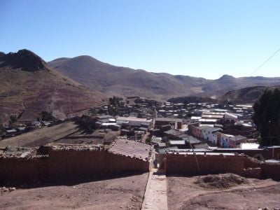
Chayanta Province, province of Bolivia
Location: Potosí Department
Elevation above the sea: 4,158 m
GPS coordinates: -18.43333,-65.51667
Latest update: March 31, 2025 23:33
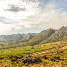
Toro Toro National Park
45.6 km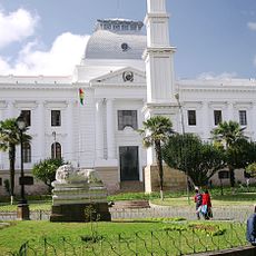
Supreme Tribunal of Justice
73 km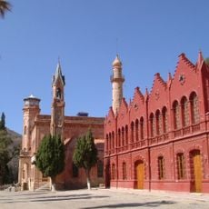
La Glorieta castle
77.1 km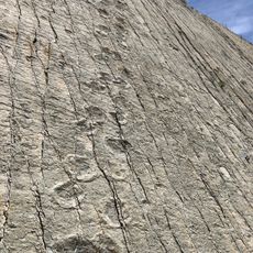
Cal Orck'o
70.4 km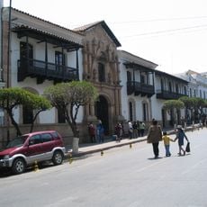
House of Freedom
73.5 km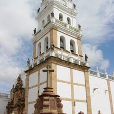
Sucre Cathedral
73.6 km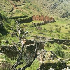
Incallajta
92.8 km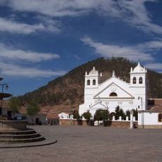
La Recoleta Monastery
74.5 km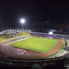
Estadio Olímpico Patria
72 km
El Palmar Integrated Management Natural Area
68.6 km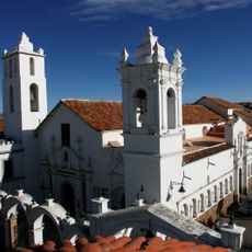
Basílica de San Francisco, Sucre, Bolivia
73.3 km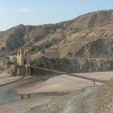
Antonio José de Sucre Bridge
108.7 km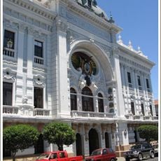
Palacio de la Prefectura de Chuquisaca
73.6 km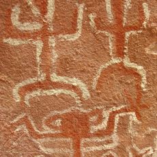
Inka Mach'ay, Bolivia
59.1 km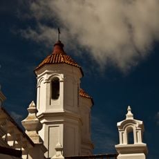
Convento de San Felipe de Neri (Sucre)
73.7 km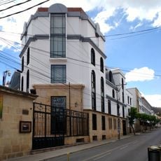
National Archive and Library of Bolivia
73.6 km
Santa Lucía Formation
48.2 km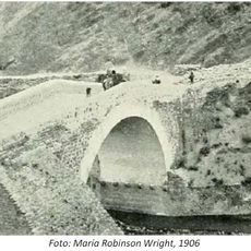
Devil´s bridge
114.3 km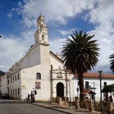
Iglesia de La Merced
73.8 km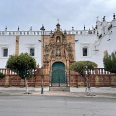
Plaza 25 de Mayo
73.6 km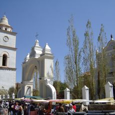
Iglesia de San Bartolomé, Arani
99.4 km
Roles Apart-Hotel
72.3 km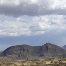
K'illi K'illi
96.1 km
Templo de San Lázaro
74.1 km
Pari Chata
111.3 km
Wila Quta (Oruro)
109.3 km
Wila Qullu (K'ulta)
110.3 km
Silos de Tukipaya
119.1 kmReviews
Visited this place? Tap the stars to rate it and share your experience / photos with the community! Try now! You can cancel it anytime.
Discover hidden gems everywhere you go!
From secret cafés to breathtaking viewpoints, skip the crowded tourist spots and find places that match your style. Our app makes it easy with voice search, smart filtering, route optimization, and insider tips from travelers worldwide. Download now for the complete mobile experience.

A unique approach to discovering new places❞
— Le Figaro
All the places worth exploring❞
— France Info
A tailor-made excursion in just a few clicks❞
— 20 Minutes