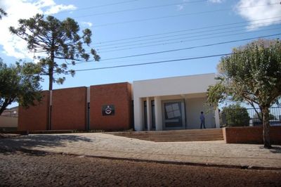
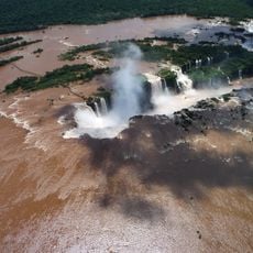
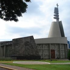
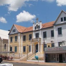
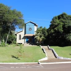
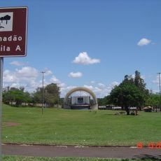
Catanduvas, Municipality in Paraná, Brazil
Catanduvas is a municipality in the Oeste Paranaense region of southern Brazil, situated at an elevation of 599 meters (1,965 feet). It covers approximately 581 square kilometers of land surrounded by extensive forest areas with distinctive vegetation.
The area came into focus in 1889 when Brazil established a telegraph line to Foz do Iguaçu and created an intermediate post here. The settlement was known at that time as Barro Preto before taking its current name.
The name comes from the Tupi-Guarani language, meaning "gathering of hard forest," which refers to the trees with thick bark and twisted trunks found here. You can still see this dense vegetation in the forests that surround the town.
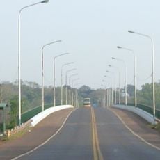
The main access route is the PR-471 highway, also known as Rodovia Osório Alves de Oliveira, which connects the municipality to surrounding towns. Visitors can use this road to explore and travel through the area.
The locality played a role during the 1924 Revolution when government forces clashed with troops led by Miguel Costa in fierce fighting. This conflict left a lasting mark on the municipality's history.
The community of curious travelers
AroundUs brings together thousands of curated places, local tips, and hidden gems, enriched daily by 60,000 contributors worldwide.