Punata Province, Agricultural province in Cochabamba, Bolivia.
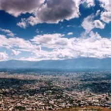
Punata Province is an administrative region in Cochabamba with the city of Punata at its center serving the five municipalities within it. The area sits at high altitude with farmland spreading across the terrain and scattered rural settlements connected to agricultural life.
The province took shape as an administrative division during Bolivia's regional organization, with the city of Punata developing as its main settlement. A major turning point came in 1970 when the Punata-Tiraque irrigation system began operation, fundamentally changing how water supported farming across the area.
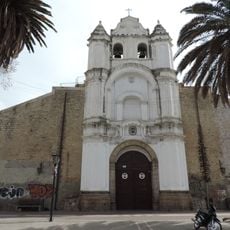
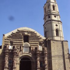
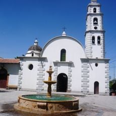
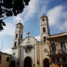
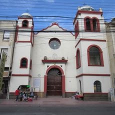
The communities here maintain strong Quechua traditions visible in daily farming practices and social gatherings that shape life across the municipalities. You can see how local customs frame the way people work the land and interact during market days and celebrations.
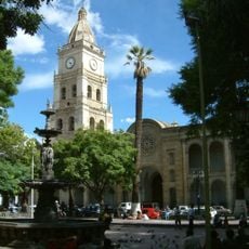
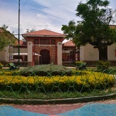
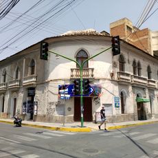
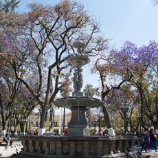
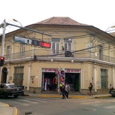
The central market in Punata city operates every Tuesday as a gathering point for farmers and merchants from across the region. Arriving early gives you the best chance to see local products and interact with the people who grow and sell them.
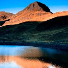
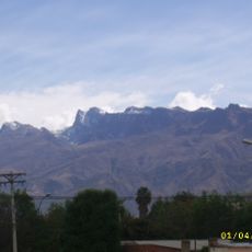
An alluvial fan formation fed by the Rio Paracaya creates distinct soil conditions that make farming possible at this high elevation. This geological feature sustains thousands of small farming operations across the province in ways unique to this landscape.
The community of curious travelers
AroundUs brings together thousands of curated places, local tips, and hidden gems, enriched daily by 60,000 contributors worldwide.