
Bahía Negra, district of Paraguay
Location: Alto Paraguay
Inception: July 16, 1885
Elevation above the sea: 75 m
Shares border with: Fuerte Olimpo, Boquerón Department
GPS coordinates: -20.22870,-58.16770
Latest update: March 11, 2025 18:19
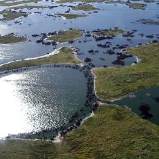
Pantanal
322.7 km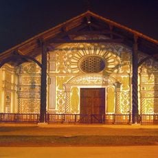
Chiquitania
314.1 km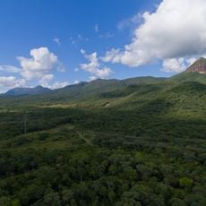
Maciço do Urucum
129.2 km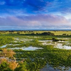
Pantanal Matogrossense National Park
292.1 km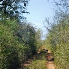
Kaa-Iya del Gran Chaco National Park and Integrated Management Natural Area
348.1 km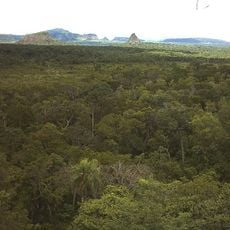
Cerro Cora National Park
339 km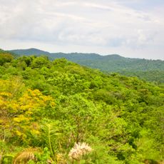
Serra da Bodoquena National Park
179.1 km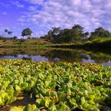
Otuquis National Park and Integrated Management Natural Area
116.9 km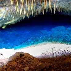
Blue Lake Cave
193.2 km
Fort of Coimbra
52.2 km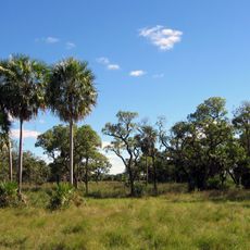
Defensores del Chaco National Park
223.3 km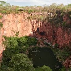
Buraco das Araras
231.2 km
Santuario Mariano de la Torre
305.2 km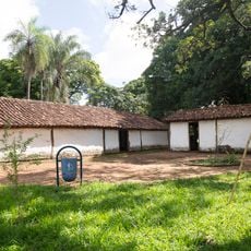
José Antônio Pereira Museum
370.8 km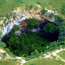
Buraco das Araras
231.2 km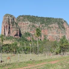
Cerro Memby
346.6 km
Parque Nacional Teniente Enciso
323.2 km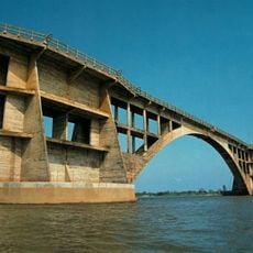
Eurico Gaspar Dutra Bridge
103.3 km
Oxcart Monument
370.8 km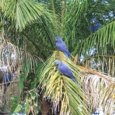
San Matías Integrated Management Natural Area
303.2 km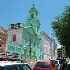
Our Lady of Candelaria Cathedral, Corumbá
147.2 km
Pantanal History Museum
147.3 km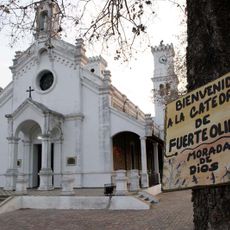
Mary Help of Christians Cathedral, Fuerte Olimpo
95.4 km
Médanos del Chaco National Park
355 km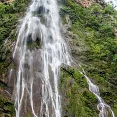
Cachoeira Boca da Onça
161.7 km
Memorial do Homem Pantaneiro
147.2 km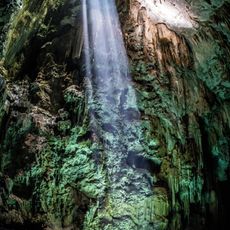
Abismo Anhumas
193.1 km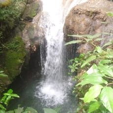
Buraco do Macaco
160.4 kmReviews
Visited this place? Tap the stars to rate it and share your experience / photos with the community! Try now! You can cancel it anytime.
Discover hidden gems everywhere you go!
From secret cafés to breathtaking viewpoints, skip the crowded tourist spots and find places that match your style. Our app makes it easy with voice search, smart filtering, route optimization, and insider tips from travelers worldwide. Download now for the complete mobile experience.

A unique approach to discovering new places❞
— Le Figaro
All the places worth exploring❞
— France Info
A tailor-made excursion in just a few clicks❞
— 20 Minutes