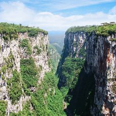
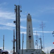
Arroio do Sal, Coastal municipality in Rio Grande do Sul, Brazil
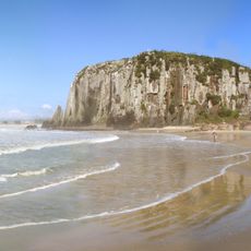
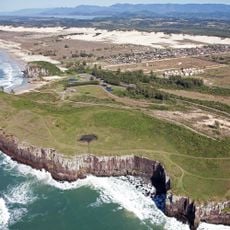
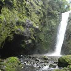
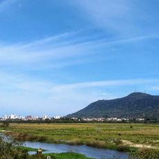
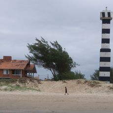
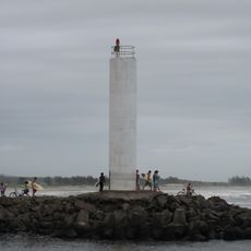
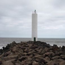
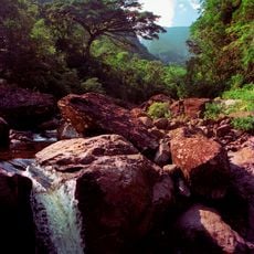
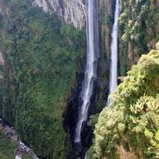
Arroio do Sal is a coastal municipality in Rio Grande do Sul that stretches along 27 kilometers of Atlantic shoreline and encompasses about 60 distinct beaches. The entire region sits just above sea level, with its flat landscape shaping the character of the coastal terrain.
The municipality was officially established in 1988, growing from a small coastal settlement into an established administrative region of Rio Grande do Sul state. This relatively recent history shapes the character of the place as a modern coastal town.
The annual Abraçando o Litoral Norte festival brings people together each year to celebrate the local coastal community and strengthen regional bonds. Praça Vitorino Brun serves as the natural gathering place where neighbors meet regularly and community life unfolds.
The municipality sits around 175 kilometers from Porto Alegre and connects via federal highways BR 101 and BR 290, making it easy to reach nearby coastal towns. Be aware that the area becomes much busier during summer months when vacationers flock to the beaches.
The population swells from around 10,000 to nearly 90,000 during summer months as vacationers arrive from across the region. This dramatic fluctuation shapes life here and makes the area a destination for beach visitors.
The community of curious travelers
AroundUs brings together thousands of curated places, local tips, and hidden gems, enriched daily by 60,000 contributors worldwide.