Serra Geral National Park, National park in Jacinto Machado, Brazil
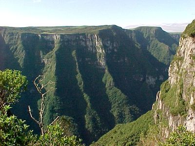
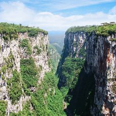
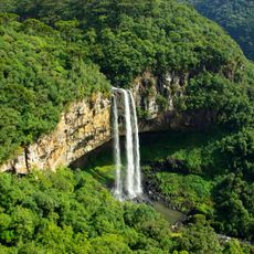
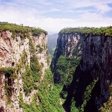
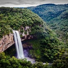
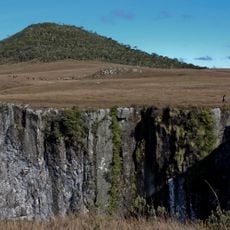
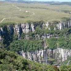
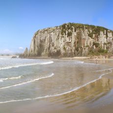
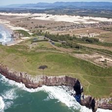
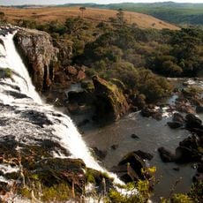
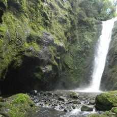
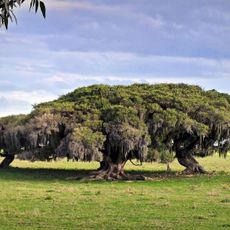
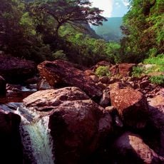
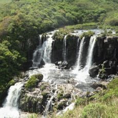
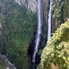
Serra Geral National Park is a protected area covering approximately 17,300 hectares across two states, marked by deep canyons, plateaus, and dense rainforests. The terrain ranges from elevations around 1,200 meters (3,900 feet) down to wooded valleys with diverse ecosystems.
The park was established in 1992 by government decree and created as an adjacent conservation zone to an existing protected area, both sharing the same mountain range. This dual designation reflected growing recognition of the need to safeguard these threatened ecosystems.
The name Serra Geral refers to the long mountain chain that defines the landscape and has shaped how people have lived in this region for centuries. Visitors can see how these ridges continue to separate and connect communities today.
The area is accessible most days of the week but requires good preparation since facilities inside are limited. Bring plenty of water and food, and wear comfortable shoes, as trails lead through forests and over elevated terrain.
The park hosts rare amphibian and bird species found nowhere else in the world, living within different forest types ranging from cloud forests to peat fields. These species depend on the specific conditions of these high-altitude zones.
The community of curious travelers
AroundUs brings together thousands of curated places, local tips, and hidden gems, enriched daily by 60,000 contributors worldwide.