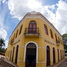
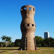
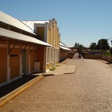
Sidrolândia, Administrative center in Mato Grosso do Sul, Brazil.
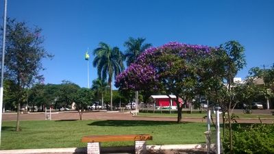
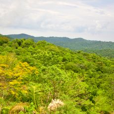
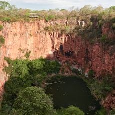
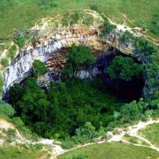
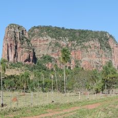
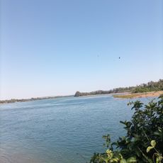
Sidrolândia is a municipality in Mato Grosso do Sul that covers a large area with agricultural land, residential neighborhoods, and small commercial districts. The settlement pattern reflects the region's natural landscape while mixing rural and urban elements.
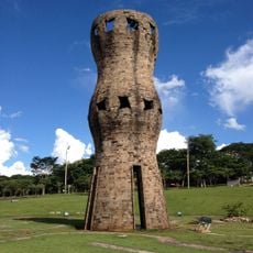
Sidrolândia was established as an independent municipality on December 30, 1953, marking a turning point in the region's development. The founding followed growing settlement and economic activity in this agricultural area.
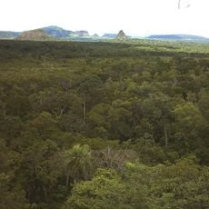
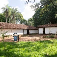
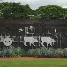
The social fabric of Sidrolândia incorporates Terena indigenous traditions alongside European influences, shaping the current customs and practices of local residents.
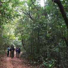
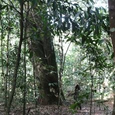
The best time to visit is during the dry season when weather is more stable and roads are more accessible. Visitors should check with local information centers to learn about current conditions and what is available in the area.
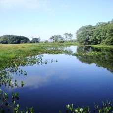
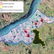
In 2013, the area became the center of important land claims when the Terena people asserted rights to territories they considered their ancestral lands. This event highlights the ongoing importance of indigenous claims in the region and how they shape local development.
Location: Mato Grosso do Sul
Inception: March 31, 1942
Elevation above the sea: 436 m
Shares border with: Campo Grande, Dois Irmãos do Buriti, Maracaju, Nova Alvorada do Sul, Rio Brilhante, Terenos
Website: https://sidrolandia.ms.gov.br
GPS coordinates: -20.93194,-54.96083
Latest update: December 7, 2025 10:07
Parque das Nações Indígenas
66.8 km
Cerro Cora National Park
229.2 km
Morada dos Baís
63 km
Pantanal Aquarium
66.5 km
Serra da Bodoquena National Park
180.7 km
Ilha Grande National Park
295.4 km
Blue Lake Cave
171.1 km
Obelisco de Campo Grande
63.8 km
Buraco das Araras
162.2 km
Orlando Moura International Autodrome
72.4 km
Metropolitan Cathedral of Our Lady of the Abbey and St. Anthony, Campo Grande
63 km
José Antônio Pereira Museum
56.1 km
Buraco das Araras
162.2 km
Monumento ao Índio
66.6 km
Cerro Memby
268.2 km
Oxcart Monument
62.2 km
Conjunto Ferroviario de Campo Grande
64.3 km
Rio Ivinhema State Park
262.2 km
Matas do Segredo State Park
71.5 km
Parque Estadual do Prosa
67.7 km
Our Lady of Fatima Cathedral
249.7 km
Mico Leão Preto Ecological Station
310.1 km
Cachoeira Boca da Onça
183.8 km
Encontro dos Rios
272.5 km
Monument to the Guaicurus Knights
66.2 km
Abismo Anhumas
171.9 km
Buraco do Macaco
185.1 km
Estância Mimosa
161.7 kmVisited this place? Tap the stars to rate it and share your experience / photos with the community! Try now! You can cancel it anytime.
Discover hidden gems everywhere you go!
From secret cafés to breathtaking viewpoints, skip the crowded tourist spots and find places that match your style. Our app makes it easy with voice search, smart filtering, route optimization, and insider tips from travelers worldwide. Download now for the complete mobile experience.
A unique approach to discovering new places❞
— Le Figaro
All the places worth exploring❞
— France Info
A tailor-made excursion in just a few clicks❞
— 20 Minutes