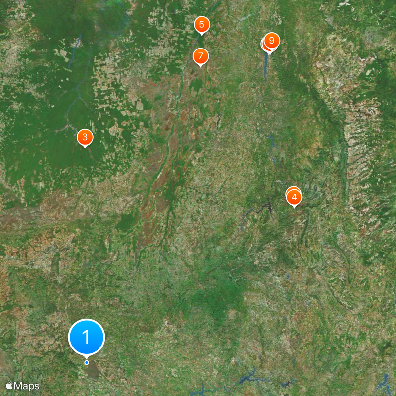
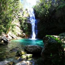
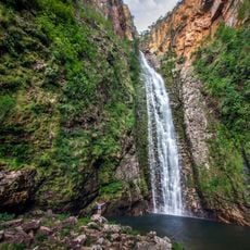
Araguaia River, Major river system in central Brazil.
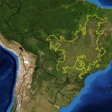
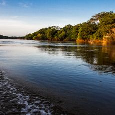
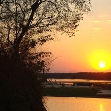
The Araguaia is a watercourse in central Brazil, flowing nearly 2,600 kilometers north-northeast from the plateaus of Mato Grosso to its junction with the Tocantins. Its twin channels enclose the longest fluvial island on the planet and separate gallery forest from wet grassland.
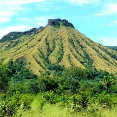
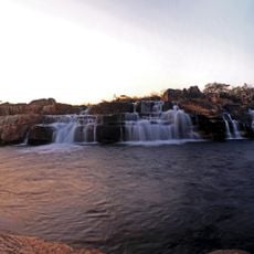
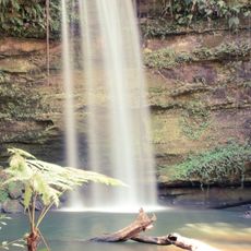
Henri Coudreau mapped the bends of the watercourse in 1897 and explored the falls separating it from the Paranã basin. Its course has marked the boundary between grazing land to the east and dense rainforest to the west since colonial times.
The Karajá-Javaé speak their own language, its sound heard on the sandbars when fishermen cast their nets. Women paint ceramic vessels with geometric patterns representing water snakes and river birds.
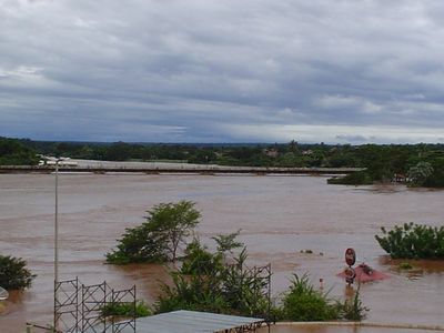
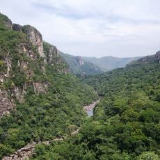
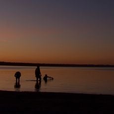
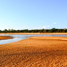
Small boats navigate the eastern channel, while the western passage holds rapids and rough rock sections. Visitors who want to walk find flat shoreline during the dry season, when the water level drops and sandbars emerge.
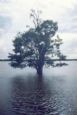
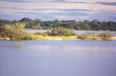
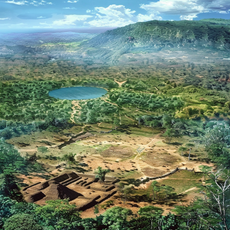
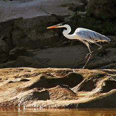
The twin channels form an island spanning more than 300 kilometers in length, the largest of its kind on Earth. Its center consists of open floodplain that stands underwater during the rainy season and attracts caimans.
The community of curious travelers
AroundUs brings together thousands of curated places, local tips, and hidden gems, enriched daily by 60,000 contributors worldwide.