Enable Location

We need your location to show you interesting places around you

Discover nearby places

Find interesting locations and hidden gems around you

Precise directions

Get accurate directions and distances to places

Your location is never shared with other users. It's only used when you tap the location button.

Arambaré

Log in to your account

Start exploring — it's free

Trusted by 64,029 travelers worldwide

Continue with Google
Continue with Apple
or

We will send you a code to connect

By continuing, you accept our Terms and Conditions and our Privacy Policy

Check your inbox

We've sent a pincode in your inbox. Please enter the code below.

Discussion Reviews 1 Photos
13.2k Popularity

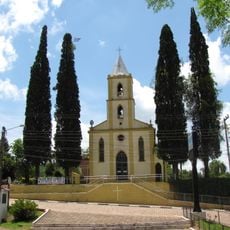
Arambaré, Municipality in Rio Grande do Sul, Brazil

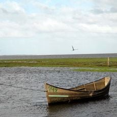
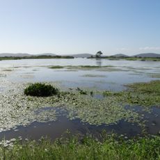
Arambaré is a municipality in Rio Grande do Sul located near Lagoa dos Patos lagoon. The area features flat terrain and shares borders with the neighboring towns of Tapes and Camaquã.

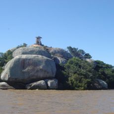
The name comes from the Guarani language meaning 'priest who shines light', referencing the Tape people who once lived along the lagoon's shores. This indigenous connection remains woven into the place's identity.

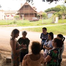
People here practice rice farming and raise livestock as central activities that shape daily life and local identity. These rural traditions are visible across the landscape and form the backbone of the community.

The area is about 156 kilometers south of Porto Alegre and easily reached via the BR-116 highway. Other nearby towns like Camaquã are just about 33 kilometers away for day trips.

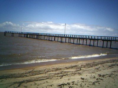
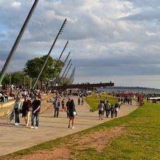
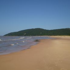
During summer months, two popular swimming spots called Dunas da Lua de Natal and Prainha within the municipality attract visitors seeking water and warmth. These natural locations become gathering places when the weather turns hot.

The community of curious travelers

AroundUs brings together thousands of curated places, local tips, and hidden gems, enriched daily by 60,000 contributors worldwide.

Start exploring
Elevation above the sea
5 m
Shares border with
Tapes, Camaquã, Sentinela do Sul
GPS coordinates
-30.91500,-51.49778
Latest update
December 7, 2025 20:41
Reviews
Share your experience

No review yet

Discussions
Start a discussion...

No discussion yet

« Arambaré - Municipality in Rio Grande do Sul, Brazil » is provided by Around Us (aroundus.com). Images and texts are derived from Wikimedia project under a Creative Commons license. You are allowed to copy, distribute, and modify copies of this page, under the conditions set by the license, as long as this note is clearly visible.

Discover hidden gems everywhere you go!

From secret cafés to breathtaking viewpoints, skip the crowded tourist spots and find places that match your style. Our app makes it easy with voice search, smart filtering, route optimization, and insider tips from travelers worldwide. Download now for the complete mobile experience.

Around Us App Screenshot

A unique approach to discovering new places

Le Figaro

All the places worth exploring

France Info

A tailor-made excursion in just a few clicks

20 Minutes

Around Us
Travel Guide & Maps
Download

Send to your phone

QR Code
1

Open the camera app on your mobile.

2

Point at the QR code with your camera. A notification will appear.

3

Tap the notification to open the link.