
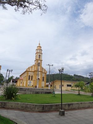
Pedras Grandes, municipality of Brazil
Location: Santa Catarina
Elevation above the sea: 39 m
Shares border with: Cocal do Sul, Morro da Fumaça, Orleans, São Ludgero, Treze de Maio, Tubarão, Urussanga
Website: http://pedrasgrandes.sc.gov.br
GPS coordinates: -28.43583,-49.18500
Latest update: April 5, 2025 16:38
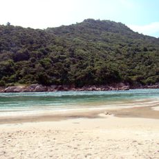
Guarda do Embaú
82.6 km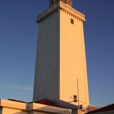
Santa Marta Lighthouse
40.8 km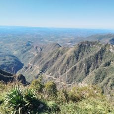
Serra do Rio do Rastro
36.3 km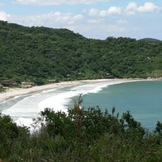
Praia dos Naufragados
90.7 km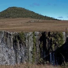
Pico do Monte Negro
63.5 km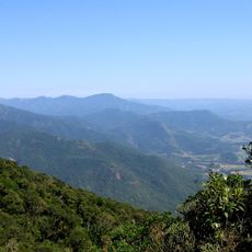
Serra do Tabuleiro State Park
63.6 km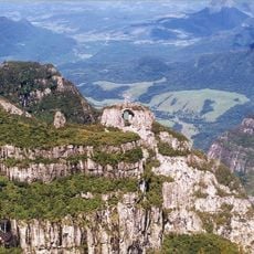
São Joaquim National Park
43.4 km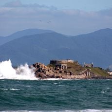
Fortaleza de Nossa Senhora da Conceição de Araçatuba
89.3 km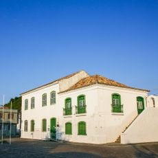
Museum Anita Garibaldi
39.5 km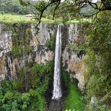
Cascata do Avencal
60.6 km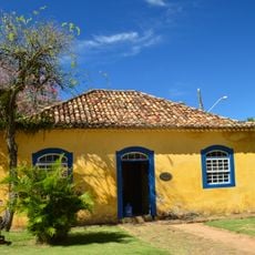
Museu Casa de Anita
39.9 km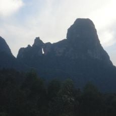
Parque Estadual da Serra Furada
36.3 km
Museu Willy Zumblick
17.1 km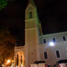
St. Joseph's Cathedral, Criciúma
32.4 km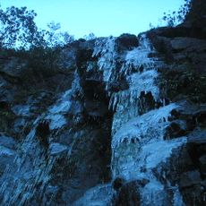
Cachoeira que Congela
86.7 km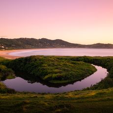
Baleia Franca Environmental Protection Area
54.9 km
Araranguá Lighthouse
58.2 km
Imbituba lighthouse
57.3 km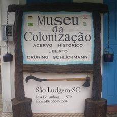
Museu da Colonização Uberto Brüning Schlickmann
12.5 km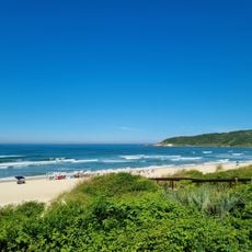
Praia do Rosa
63.6 km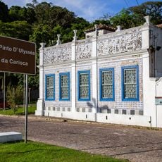
Casa Pinto D'Ulisséa
40 km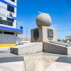
Marco do Tratado de Tordesilhas
39.5 km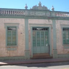
Imóvel situado à Av. Presidente Vargas, 43
16.4 km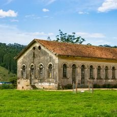
Imóvel situado à Estrada Geral de Pedrinhas
1.1 km
Santo Ofício
72.2 km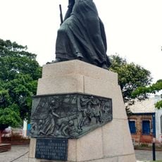
Monument to Anita Garibaldi
39.6 km
Praia dos Naufragados
90.6 km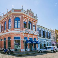
Historic center of Laguna
39.6 kmVisited this place? Tap the stars to rate it and share your experience / photos with the community! Try now! You can cancel it anytime.
Discover hidden gems everywhere you go!
From secret cafés to breathtaking viewpoints, skip the crowded tourist spots and find places that match your style. Our app makes it easy with voice search, smart filtering, route optimization, and insider tips from travelers worldwide. Download now for the complete mobile experience.

A unique approach to discovering new places❞
— Le Figaro
All the places worth exploring❞
— France Info
A tailor-made excursion in just a few clicks❞
— 20 Minutes