Anitápolis, Municipality in Grande Florianópolis, Brazil.
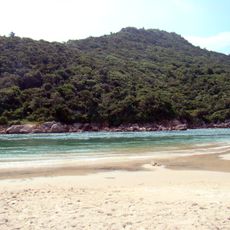
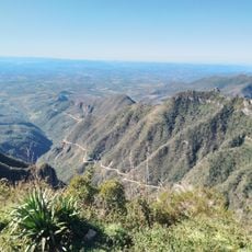
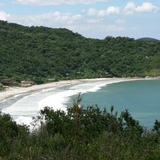
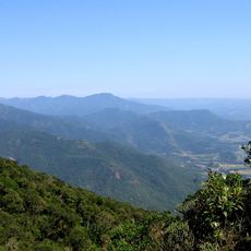
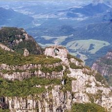
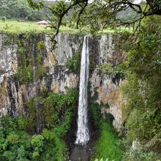
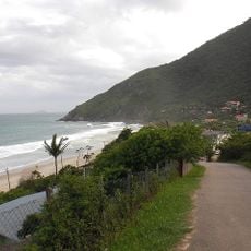
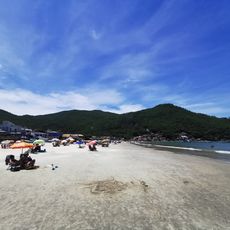
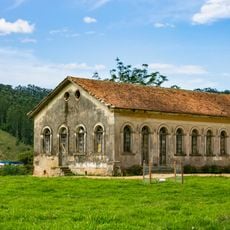
Anitápolis is a municipality set in the highlands of Santa Catarina, stretching across a mountainous area south of the Grande Florianópolis metropolitan region. The town sits at roughly 600 meters elevation and is surrounded by rolling hills and farmland that define this rural landscape.
The municipality was founded as part of the administrative development of southern Brazil's highlands, becoming an official entity during a period of inland settlement expansion. Its creation is tied to the colonization and opening up of Santa Catarina's interior regions.
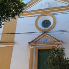
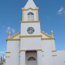
The community here keeps alive traditional crafts and regional food customs that shape daily gatherings and celebrations. Local residents share recipes and knowledge passed down through generations, connecting people to the land and to each other.
Visitors can find information and services through the official municipal website. The municipality operates in the UTC-3 time zone and is accessible by roads that connect to the surrounding rural region.
The specific geographical location here serves as a crossroads between different regional trade routes in the highlands. This positioning has shaped how local markets developed and how goods move between the surrounding communities.
Location: Santa Catarina
Elevation above the sea: 600 m
Shares border with: Águas Mornas, Alfredo Wagner
Website: https://anitapolis.sc.gov.br
GPS coordinates: -27.90194,-49.12889
Latest update: December 8, 2025 13:44
Guarda do Embaú
52.7 km
Serra do Rio do Rastro
64.5 km
Praia dos Naufragados
56.2 km
Serra do Tabuleiro State Park
31 km
São Joaquim National Park
49.3 km
Fortaleza de Nossa Senhora da Conceição de Araçatuba
55 km
Praia da Tapera
60.1 km
Cascata do Avencal
50.7 km
Praia dos Açores
61.1 km
Praia do Saquinho
59.3 km
Praia da Solidão
59.8 km
Parque Estadual da Serra Furada
39.1 km
Igreja Matriz de São José
58.7 km
Lagoa do Peri Natural Monument
60.1 km
Baleia Franca Environmental Protection Area
58.7 kmPraia do Cedro
52.7 km
Imbituba lighthouse
60.1 km
Iglesia de Nuestra Señora de Fátima y Santa Filomena
59.3 km
Museu da Colonização Uberto Brüning Schlickmann
47.2 km
Forte de Nossa Senhora da Lapa do Ribeirão da Ilha
59.2 km
Praia do Pãntano do Sul
61.2 km
Praia do Itaguaçu
61.8 km
Praia do Rosa
54.6 km
Estádio Renato Silveira
53.9 km
Imóvel situado à Estrada Geral de Pedrinhas
59.3 km
Santo Ofício
52.1 km
Praia dos Naufragados
56.2 km
Cascata Encantada
41.6 kmVisited this place? Tap the stars to rate it and share your experience / photos with the community! Try now! You can cancel it anytime.
Discover hidden gems everywhere you go!
From secret cafés to breathtaking viewpoints, skip the crowded tourist spots and find places that match your style. Our app makes it easy with voice search, smart filtering, route optimization, and insider tips from travelers worldwide. Download now for the complete mobile experience.
A unique approach to discovering new places❞
— Le Figaro
All the places worth exploring❞
— France Info
A tailor-made excursion in just a few clicks❞
— 20 Minutes