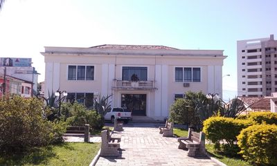
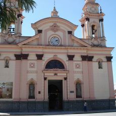
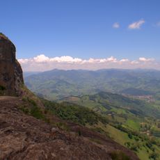
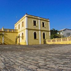
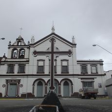
Pindamonhangaba, Industrial municipality in São Paulo state, Brazil
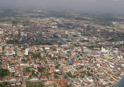
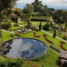
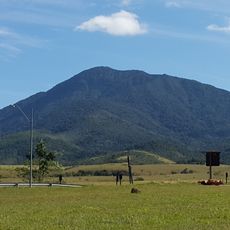
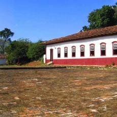
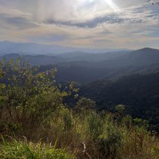
Pindamonhangaba is a municipality in São Paulo state that sits in the Paraíba Valley at roughly 540 meters above sea level. The city spreads between wooded hills and open plains, with residential neighborhoods scattered across wide areas.
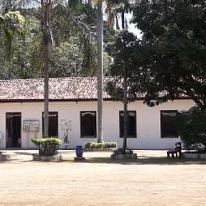
Portuguese settlers arrived in the region in 1643 and began working the land. Formal land grants were distributed from 1649 onward to colonists who established small farms and trading posts.
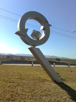
The name comes from Old Tupi and describes the place where fishing hooks were made or where the river bends. This indigenous term reflects how early inhabitants understood the landscape and its resources.
The city runs eight voluntary drop-off points where residents can leave construction materials and electronic waste at no charge. These collection sites are located across different neighborhoods and make responsible disposal easier.
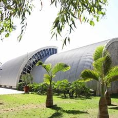
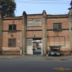
The city hosts the largest aluminum can recycling center in Latin America, where huge volumes of packaging are melted down. The plant processes cans daily from several countries and supplies new raw materials to factories across the region.
Location: São Paulo
Inception: July 10, 1705
Elevation above the sea: 540 m
Shares border with: Campos do Jordão, Tremembé, Guaratinguetá, Monteiro Lobato, Potim, Roseira, Santo Antônio do Pinhal, Taubaté
Website: http://pindamonhangaba.sp.gov.br
GPS coordinates: -22.92389,-45.46167
Latest update: December 13, 2025 17:58
Amantikir
21.1 km
Pico do Itapeva
19 km
Boa Vista Palace
26 km
Museu Mazzaropi
15.2 km
Museu Monteiro Lobato
15.2 km
Pico Agudo
20.5 km
Joaquinzão
16.1 km
Companhia Taubaté Industrial
15.6 km
Museu Histórico Pedagógico Dom Pedro I e Dona Leopoldina
220 mMuseu Felícia Leirner
26.7 km
Basilica of the Good Lord Jesus, Tremembé
9.9 km
Mananciais de Campos do Jordão State Park
20.3 km
Casa da Xilogravura
25.2 km
Museu da Imigração Italiana de Quiririm "José Indiani"
20.8 kmPalácio Dez de Julho
110 mAuditório Claudio Santoro
26.8 km
Palacete Palmeira
166 m
Campos do Jordão Environmental Protection Area
25.3 kmPalacete Tiradentes
102 m
Fazenda Pasto Grande
15 km
Casa de Oliveira Costa
15.1 km
Igreja Santa Terezinha (Taubaté)
15.7 km
Mirante Lageado 2
21.9 kmE.E. Doutor Alfredo Pujol
487 m
Convento de Santa Clara
14.2 km
Busto de Homem de Mello
418 m
Chácara do Visconde
15.2 kmCristo Redentor
25.8 kmVisited this place? Tap the stars to rate it and share your experience / photos with the community! Try now! You can cancel it anytime.
Discover hidden gems everywhere you go!
From secret cafés to breathtaking viewpoints, skip the crowded tourist spots and find places that match your style. Our app makes it easy with voice search, smart filtering, route optimization, and insider tips from travelers worldwide. Download now for the complete mobile experience.
A unique approach to discovering new places❞
— Le Figaro
All the places worth exploring❞
— France Info
A tailor-made excursion in just a few clicks❞
— 20 Minutes