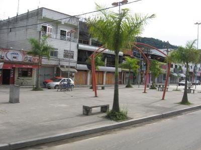
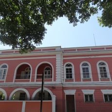
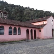
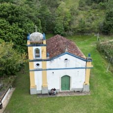
Xerém, Residential district in Duque de Caxias, Brazil.
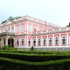
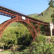
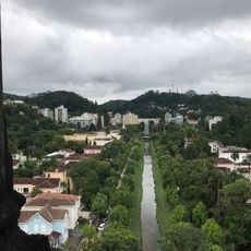
Xerém is a residential district in Duque de Caxias situated on the slopes of Serra Fluminense near Petrópolis, located roughly fifty kilometers from Rio de Janeiro's center. The area hosts facilities of the National Institute of Metrology, Standardization and Industrial Quality as well as training grounds and offices for football clubs.
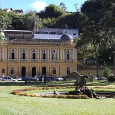
The neighborhood developed alongside the growth of Duque de Caxias municipality, becoming an important administrative region in Rio de Janeiro state. This expansion reflects the urban development of the metropolitan periphery.
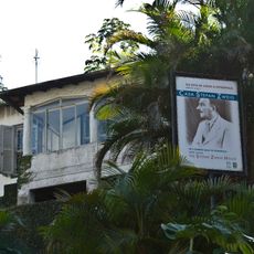
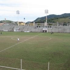
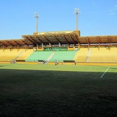
The neighborhood has strong ties to Brazilian football through the Fluminense Football Club's training center and the headquarters of Duque de Caxias FC. These facilities shape daily life and give the area a sporting focus.
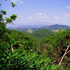
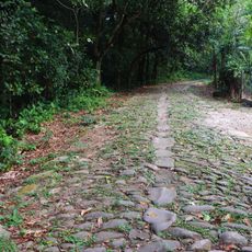
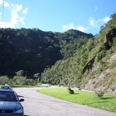
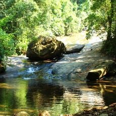
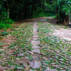
Access is easiest by car or public transportation as the neighborhood sits in hilly terrain. The best time to explore is during drier months when the mountain roads are easier to navigate.
Vaquejada Park Ana Dantas hosts annual events featuring performances by well-known Brazilian musicians. The park draws visitors from across the region and serves as a cultural gathering point beyond the local community.
Location: Duque de Caxias
GPS coordinates: -22.58330,-43.30000
Latest update: December 7, 2025 20:45
Palácio Quitandinha
10.9 km
Cathedral of Petrópolis
15.1 km
Palácio de Cristal
14.8 km
Palácio Rio Negro
14.8 km
Parque das Ruínas
19.7 km
Imperial Museum of Brazil
15.3 km
Casa da Princesa Isabel
15 km
Santos Dumont House Museum
14.4 km
Tinguá Biological Reserve
9.7 km
Palácio do Grão-Pará
15.5 km
Casa Stefan Zweig
13.4 km
Church of Our Lady of Pilar
13.6 km
Fazenda São Bernardino
16.1 km
Viaduto Paulo de Frontin
18.7 km
Estádio Romário de Souza Faria
579 m
Estádio de Los Larios
4.4 km
Palácio Amarelo
15.1 km
Avenida Koeler
14.9 km
Caminho do Proença
11.6 km
Fazenda de São Bento
15.7 km
Petrópolis Municipal Nature Park
15.9 km
Mosteiro da Virgem
15.7 km
Taquara Municipal Nature Park
7.3 km
Suruí Environmental Protection Area
18 km
Conjunto Urbano da Extinta Vila de Iguaçu
14.8 km
Palácio Amarelo - Edifício da Câmara Municipal
15.1 km
Capela de Nossa Senhora da Conceição (2)
11.9 km
Caminho de Minas - Trecho à Estrada Normal da Estrela
11.7 kmVisited this place? Tap the stars to rate it and share your experience / photos with the community! Try now! You can cancel it anytime.
Discover hidden gems everywhere you go!
From secret cafés to breathtaking viewpoints, skip the crowded tourist spots and find places that match your style. Our app makes it easy with voice search, smart filtering, route optimization, and insider tips from travelers worldwide. Download now for the complete mobile experience.
A unique approach to discovering new places❞
— Le Figaro
All the places worth exploring❞
— France Info
A tailor-made excursion in just a few clicks❞
— 20 Minutes