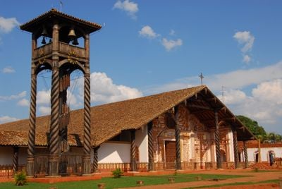
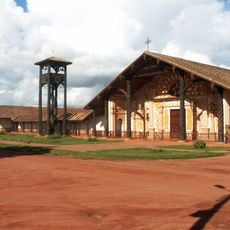
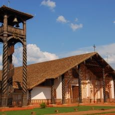
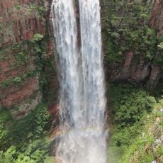
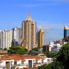
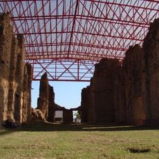
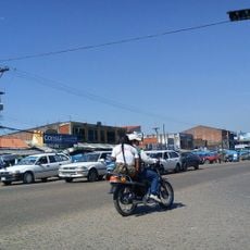
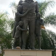
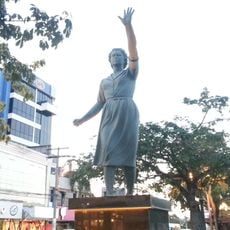
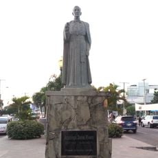
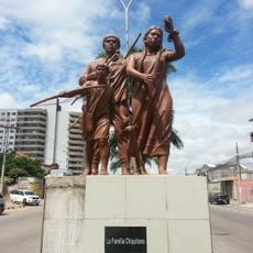
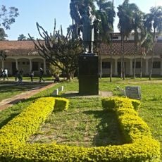
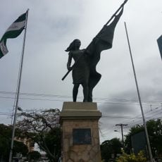
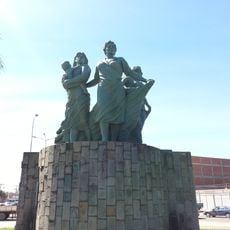
Concepción, city in Bolivia
Location: Ñuflo de Chaves Province
Elevation above the sea: 500 m
Part of: Jesuit Missions of Chiquitos
GPS coordinates: -16.13194,-62.02611
Latest update: March 10, 2025 20:29
Noel Kempff Mercado National Park
246.7 km
Jesuit Missions of Chiquitos
53.8 km
Jardín Botánico de Santa Cruz de la Sierra
213.5 km
Zoológico de Fauna Sudamericana
219.2 km
Palacio de Justicia de Santa Cruz de la Sierra
220.3 km
Cristo Redentor de Santa Cruz de la Sierra
220.1 km
Immaculate Conception Cathedral, Concepción
528 m
Catarata Arco Iris
286.4 km
Urubichá
163.7 km
Serra Ricardo Franco State Park
252 km
Cachoeira do Jatobá
249.3 km
Ríos Blanco y Negro Wildlife Reserve
162 km
La Casona (Bolivia)
220.4 km
Casarabe culture
298.3 km
Bajo Paraguá Municipal Protected Area
185.5 km
Federico Ahlfeld Falls
287.3 km
Ruins of the Church of the Holy Trinity
255.4 km
Isla Cumprida
337.3 km
Municipio Montero
186.8 km
Herman Gmeiner
220.1 km
Elffy Albrecht Ibáñez
220.3 km
Monseñor Daniel Rivero
220.2 km
Familia Chiquitana
219.5 km
Gabriel René Moreno
221.2 km
Luis Gutiérrez Dams
220.5 km
Mujer Cívica Cruceña
220.5 km
Anita Suárez de Leigue
218.8 km
Plazuela Urkupiña
214.2 kmReviews
Visited this place? Tap the stars to rate it and share your experience / photos with the community! Try now! You can cancel it anytime.
Discover hidden gems everywhere you go!
From secret cafés to breathtaking viewpoints, skip the crowded tourist spots and find places that match your style. Our app makes it easy with voice search, smart filtering, route optimization, and insider tips from travelers worldwide. Download now for the complete mobile experience.
A unique approach to discovering new places❞
— Le Figaro
All the places worth exploring❞
— France Info
A tailor-made excursion in just a few clicks❞
— 20 Minutes