Sawré Muybu Indigenous Territory, Indigenous territory in Pará, Brazil
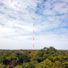
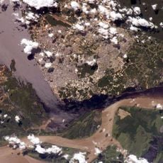
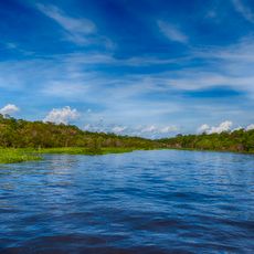
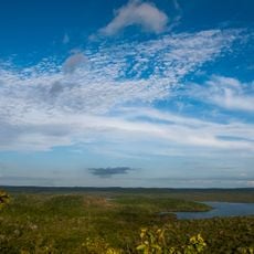
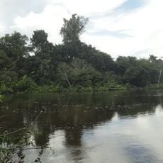
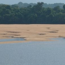
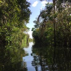
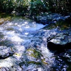
Sawré Muybu Indigenous Territory spreads across 178,173 hectares along the eastern bank of the Tapajós River, characterized by dense forest and fertile dark soil. The landscape follows the river's course and contains multiple forest types with several spiritually important sites.
The Munduruku people originally lived in this region but lost their land during the rubber boom in the early 20th century. They returned to the middle Tapajós area in the 1970s, and the territory gained official recognition in 2016.
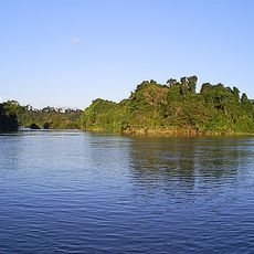
The territory holds sacred significance for the Munduruku people, especially the sites Fecho and Ilha da Montanha, which their traditions identify as humanity's origin. These spiritual places shape how the community sees itself and its connection to the land.
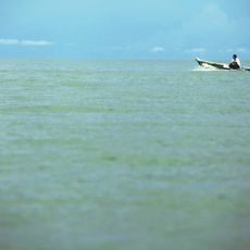
The territory is located in Pará state near the Tapajós River, accessible by river boats and forest paths. A visit requires planning since the area is remote and access typically happens with guides from the local Munduruku community.
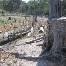
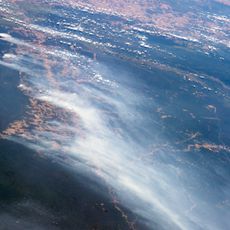
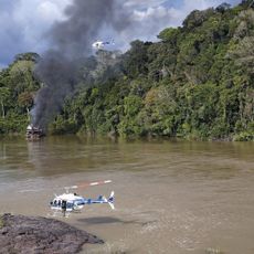
The Munduruku conduct yearly expeditions through the forest to maintain boundary markers and document threats from illegal operations. This self-demarcation is an active way the community protects its land and records outside intrusions.
Location: Pará
Inception: 2004
GPS coordinates: -4.88567,-56.59299
Latest update: December 14, 2025 18:41
Amazon Tall Tower Observatory
406 km
Forte de São José da Barra do Rio Negro
420.4 km
Amazônia National Park
56.7 km
Benjamin Constant suspended bridge
426.6 km
João Fona cultural centre
345.3 km
Juruena National Park
373.6 km
Tapajós hydroelectric complex
46.4 km
National Forest Tapajós
227.4 km
Museu do Índio de Manaus
426.8 km
Serra do Pardo National Park
420.3 km
Jamanxim National Park
124.7 km
Rio Novo National Park
320 km
Chaminé Theatre
427.1 km
Terra do Meio Ecological Station
349.8 km
Capela de Santo Antônio do Pobre Diabo
426.2 km
Jamanxim National Forest
309.6 km
Rio Trombetas Biological Reserve
423.2 km
Tapajós Environmental Protection Area
181.7 km
Uatumã Sustainable Development Reserve
367.9 km
Tapajós-Arapiuns Extractive Reserve
216.4 km
Crepori National Forest
185.3 km
Forte Gurjão
351.1 km
Itaituba II National Forest
49.3 km
Museum of the Amazon (MUSA)
425.6 km
Trairão National Forest
116.3 km
Moronas Lighthouse
406.6 km
Centro Cultural dos Povos da Amazônia
424.6 km
Centerplex Grande Circular
424.7 kmVisited this place? Tap the stars to rate it and share your experience / photos with the community! Try now! You can cancel it anytime.
Discover hidden gems everywhere you go!
From secret cafés to breathtaking viewpoints, skip the crowded tourist spots and find places that match your style. Our app makes it easy with voice search, smart filtering, route optimization, and insider tips from travelers worldwide. Download now for the complete mobile experience.
A unique approach to discovering new places❞
— Le Figaro
All the places worth exploring❞
— France Info
A tailor-made excursion in just a few clicks❞
— 20 Minutes