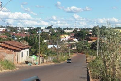
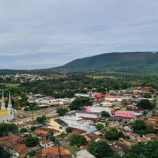
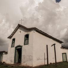
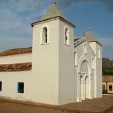
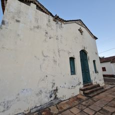
São Miguel do Araguaia, Municipal administrative division in northwestern Goiás, Brazil.
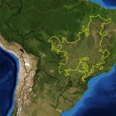
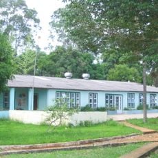
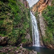
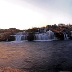
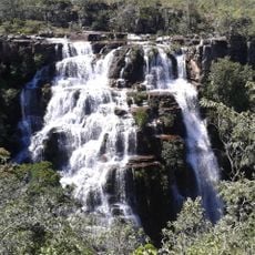
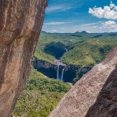
São Miguel do Araguaia is a municipality in northwestern Goiás, covering a large territory characterized by river systems and agricultural lands. The landscape is shaped by waterways and farming areas that define much of the region's geography.
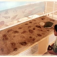
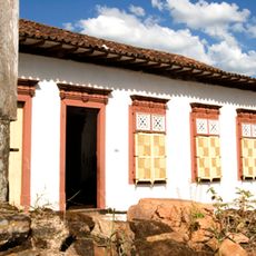
The settlement was founded in 1952 when three pioneers, including José Pereira do Nascimento, purchased large land areas and began cattle farming. This early establishment shaped the region's development as a ranching and agricultural center.
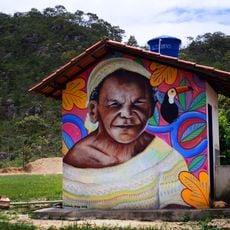
Local artisans and musicians gather for the annual Culturarte fair, where regional crafts and food celebrate community traditions. These gatherings reflect how residents connect their heritage to everyday life and celebrations.
The municipality can be reached through several routes, so it helps to check your access options before traveling. The area is most easily explored during the dry season when roads are more passable.
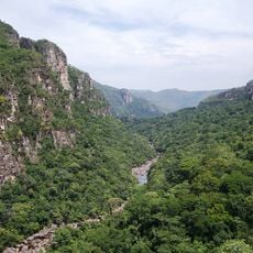
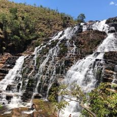
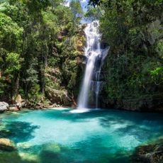
The Luís Alves settlement transforms during June and July when the Araguaia River reveals extensive white sand beaches. These seasonal formations attract visitors who come specifically to experience the river landscape during these months.
GPS coordinates: -13.27264,-50.16272
Latest update: December 7, 2025 19:26
Cerrado
280.2 km
Kuhikugu
329.6 km
Chapada dos Veadeiros National Park
284.7 km
Araguaia National Park
308.2 km
Bona Espero
291.4 km
Araguaia State Park
124.4 km
Parque Estadual da Serra de Jaraguá
295.2 km
Memorial Serra da Mesa
184.7 km
Cataratas dos Couros
283.1 km
Church of Saint John the Baptist
293.9 km
Igreja Matriz de Nossa Senhora da Natividade
317.1 km
Cachoeira Santa Bárbara
290.6 km
Igreja de São Benedito
317.1 km
Church of Saint Barbara
295.5 km
Igreja de Nossa Senhora da Conceição
290.8 km
Cachoeira de Santa Bárbara
290.6 km
Igreja de Nossa Senhora do Rosário
290.9 km
Ruínas da Igreja de Nossa Senhora do Rosário dos Pretos
317 km
Catedral Nossa Senhora das Mercês
343 km
Seminário São José
343 km
Cachoeira do Abismo
269.5 km
Cachoeira do Segredo
273.8 km
Cachoeira das Sete Quedas
276.2 km
Cachoeira do Córrego Almécegas II
294.7 km
Historical center of Natividade
314 km
Quilombo Kalunga
300.4 km
Casa com Janelas de Rótulas e Forro Pintado, na Rua da Cadeia
177.3 km
Mirante da Janela
269.2 kmVisited this place? Tap the stars to rate it and share your experience / photos with the community! Try now! You can cancel it anytime.
Discover hidden gems everywhere you go!
From secret cafés to breathtaking viewpoints, skip the crowded tourist spots and find places that match your style. Our app makes it easy with voice search, smart filtering, route optimization, and insider tips from travelers worldwide. Download now for the complete mobile experience.
A unique approach to discovering new places❞
— Le Figaro
All the places worth exploring❞
— France Info
A tailor-made excursion in just a few clicks❞
— 20 Minutes