Campos Belos, Commercial municipality in northeastern Goiás, Brazil
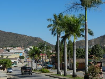
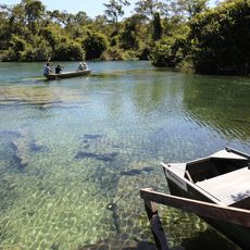
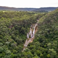
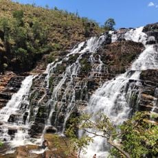
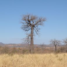
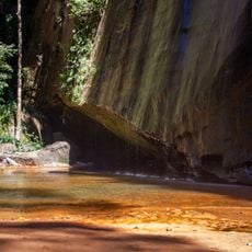
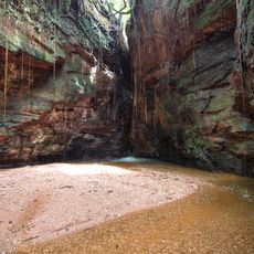
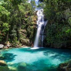
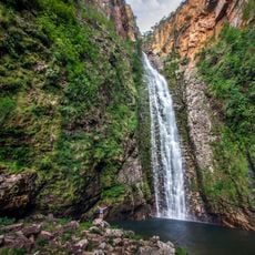
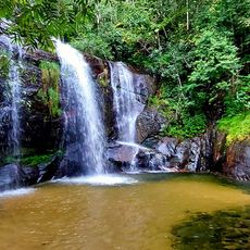
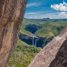
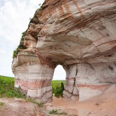
Campos Belos is a town in the savanna region of northeastern Goiás, spreading across hilly terrain. The center focuses on commerce and administration with basic public facilities serving the local population.
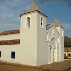
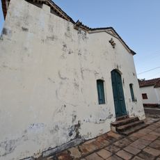
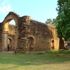
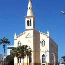
The town originated in 1881 around a chapel dedicated to Our Lady of the Conception, established by local cattle ranchers. The region later became a key location along the border between Goiás and Tocantins following the state division.
The town functions as a local trade hub where people from surrounding rural areas gather for commerce and services. Its role as a regional crossroads shapes how residents and visitors move through the community.
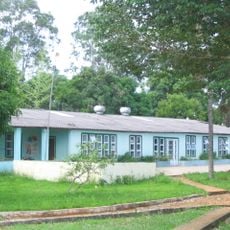
The town has a hospital serving patients from Goiás and neighboring states Tocantins and Bahia. The main roads are passable and most services are located in the central area of town.
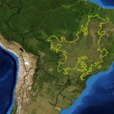
The town sits at a rare triple boundary where Goiás, Tocantins, and Bahia meet. This unusual geographic position makes it a meeting point between three Brazilian states.
Location: Goiás
Elevation above the sea: 700 m
Shares border with: São Domingos, Novo Alegre, Arraias, Divinópolis de Goiás, Lavandeira, Combinado, Monte Alegre de Goiás, São Desidério
Website: http://camposbelos.go.gov.br
GPS coordinates: -13.03694,-46.77194
Latest update: December 7, 2025 19:30
Cerrado
146.2 km
Chapada dos Veadeiros National Park
151.5 km
Grande Sertão Veredas National Park
249.2 km
Serra Geral do Tocantins Ecological Station
237.3 km
Terra Ronca State Park
77.2 km
Bona Espero
152.6 km
Cachoeira do Bisnau
259.8 km
Cataratas dos Couros
174.5 km
Reserva Extrativista do Recanto das Araras de Terra Ronca
89.9 km
Fervedouro dos Buritis
293.2 km
Canion Encantado
216.4 km
Cânion do Sussuapara
275.4 km
Igreja Matriz de Nossa Senhora da Natividade
180.4 km
Igreja de São Benedito
180.8 km
Cachoeira Santa Bárbara
96.1 km
Ruínas da Igreja de Nossa Senhora do Rosário dos Pretos
180.4 km
Cachoeira de Santa Bárbara
96.1 km
Igreja Matriz
21.4 km
Cachoeira do Córrego Almécegas II
156.5 km
Cachoeira do Segredo
178.4 km
Cachoeira das Sete Quedas
158.6 km
Cachoeira do Abismo
173.1 km
Cathedral of St John the Baptist in Barreiras
216.5 km
Historical center of Natividade
152.7 km
Quilombo Kalunga
110 km
Cachoeira do Lajeado
271.1 km
Mirante da Janela
172.2 km
Pedra Furada
249.5 kmVisited this place? Tap the stars to rate it and share your experience / photos with the community! Try now! You can cancel it anytime.
Discover hidden gems everywhere you go!
From secret cafés to breathtaking viewpoints, skip the crowded tourist spots and find places that match your style. Our app makes it easy with voice search, smart filtering, route optimization, and insider tips from travelers worldwide. Download now for the complete mobile experience.
A unique approach to discovering new places❞
— Le Figaro
All the places worth exploring❞
— France Info
A tailor-made excursion in just a few clicks❞
— 20 Minutes