
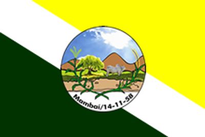
Mambaí, municipality of Brazil
Location: Goiás
Inception: 1958
Elevation above the sea: 811 m
Shares border with: Posse, Damianópolis, Buritinópolis, Jaborandi
GPS coordinates: -14.48778,-46.11278
Latest update: April 2, 2025 01:30
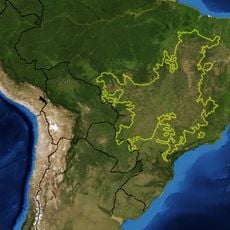
Cerrado
177.9 km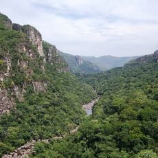
Chapada dos Veadeiros National Park
173.6 km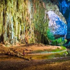
Cavernas do Peruaçu National Park
205 km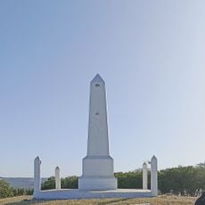
Pedra fundamental de Brasília
214.7 km
Águas Emendadas Ecological Station
200.2 km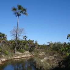
Grande Sertão Veredas National Park
72.7 km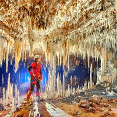
Terra Ronca State Park
100.9 km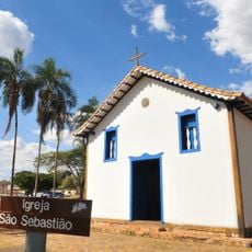
Igreja de São Sebastião
209.1 km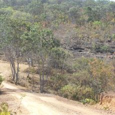
Bisnau Archaeological Site
173.2 km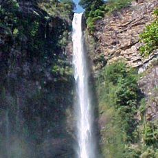
Itiquira Falls
174.6 km
Cavernas do Peruaçu Environmental Protection Area
226.8 km
Bona Espero
167.1 km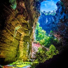
Gruta do Janelão
213.2 km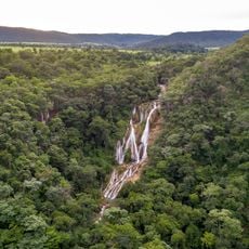
Cachoeira do Bisnau
142.7 km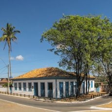
Museu Histórico e Artístico de Planaltina
208.9 km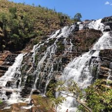
Cataratas dos Couros
178.9 km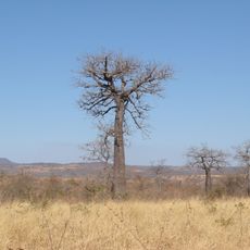
Reserva Extrativista do Recanto das Araras de Terra Ronca
87.8 km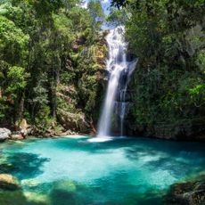
Cachoeira Santa Bárbara
182.6 km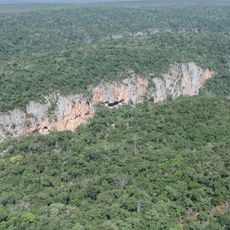
Rio Peruaçu canyon
213.5 km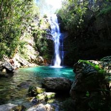
Cachoeira de Santa Bárbara
182.6 km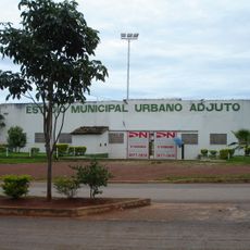
Estádio Municipal Urbano Adjuto
226 km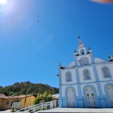
Igreja Matriz
194.8 km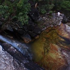
Cachoeira do Abismo
190.8 km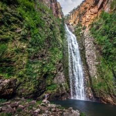
Cachoeira do Segredo
188.2 km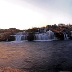
Cachoeira das Sete Quedas
182.3 km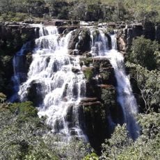
Cachoeira do Córrego Almécegas II
164.4 km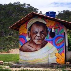
Quilombo Kalunga
163.1 km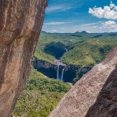
Mirante da Janela
190.9 kmReviews
Visited this place? Tap the stars to rate it and share your experience / photos with the community! Try now! You can cancel it anytime.
Discover hidden gems everywhere you go!
From secret cafés to breathtaking viewpoints, skip the crowded tourist spots and find places that match your style. Our app makes it easy with voice search, smart filtering, route optimization, and insider tips from travelers worldwide. Download now for the complete mobile experience.

A unique approach to discovering new places❞
— Le Figaro
All the places worth exploring❞
— France Info
A tailor-made excursion in just a few clicks❞
— 20 Minutes