Enable Location

We need your location to show you interesting places around you

Discover nearby places

Find interesting locations and hidden gems around you

Precise directions

Get accurate directions and distances to places

Your location is never shared with other users. It's only used when you tap the location button.

Uruará

Log in to your account

Start exploring — it's free

Trusted by 61,996 travelers worldwide

Continue with Google
Continue with Apple
or

We will send you a code to connect

By continuing, you accept our Terms and Conditions and our Privacy Policy

Check your inbox

We've sent a pincode in your inbox. Please enter the code below.

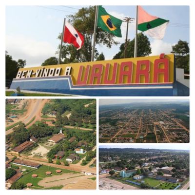
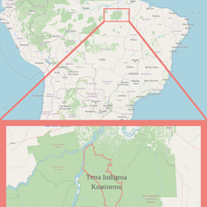
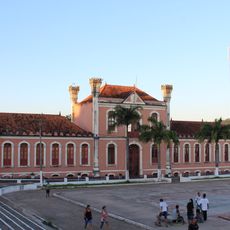
Uruará, Administrative municipality in Pará, Brazil

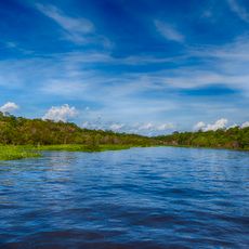
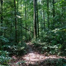
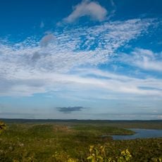
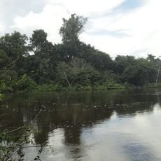
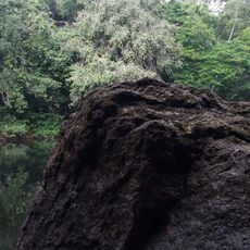
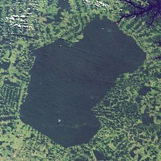
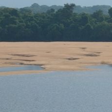
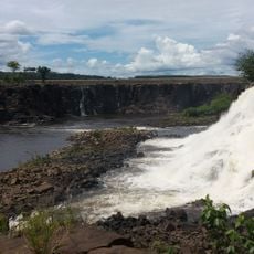
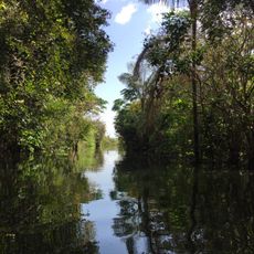
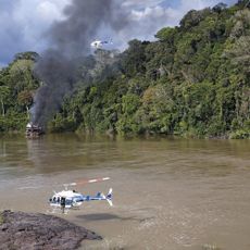
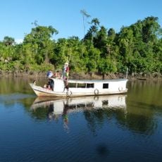
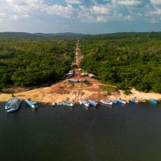
Uruará is a municipality in northern Brazil's Amazon region, situated within dense tropical forest landscape. The area features rivers, farmland, and scattered settlements nestled in the flat terrain.

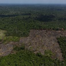
The municipality was founded in the late 20th century as people migrated from other parts of Brazil to settle in the Amazon region. This movement established new communities and developed agricultural activity across the area.

Indigenous communities and settlers maintain farming practices that have shaped daily life in the region for generations. The way people work the land reflects a deep connection to the forest and its seasons.

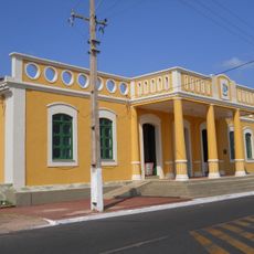
The area is accessible by roads connecting it to other regions, with an expanding network continuing to develop. Visitors should prepare for hot, humid tropical conditions when traveling through the municipality.

Farming practices here show creative adaptations to tropical rainforest conditions that differ from methods used in other regions. Local farmers blend traditional knowledge with modern techniques to grow crops successfully in this demanding environment.

The community of curious travelers

AroundUs brings together thousands of curated places, local tips, and hidden gems, enriched daily by 60,000 contributors worldwide.

Start exploring
Location
Elevation above the sea
129 m
Shares border with
Medicilândia, Placas, Altamira, Brasil Novo, Mojuí Dos Campos, Prainha, Santarém
GPS coordinates
-3.71778,-53.73694
Latest update
December 7, 2025 20:25
« Uruará - Administrative municipality in Pará, Brazil » is provided by Around Us (aroundus.com). Images and texts are derived from Wikimedia project under a Creative Commons license. You are allowed to copy, distribute, and modify copies of this page, under the conditions set by the license, as long as this note is clearly visible.

Discover hidden gems everywhere you go!

From secret cafés to breathtaking viewpoints, skip the crowded tourist spots and find places that match your style. Our app makes it easy with voice search, smart filtering, route optimization, and insider tips from travelers worldwide. Download now for the complete mobile experience.

Around Us App Screenshot

A unique approach to discovering new places

Le Figaro

All the places worth exploring

France Info

A tailor-made excursion in just a few clicks

20 Minutes

Around Us
Travel Guide & Maps
Download

Send to your phone

QR Code
1

Open the camera app on your mobile.

2

Point at the QR code with your camera. A notification will appear.

3

Tap the notification to open the link.