Guaraí, Municipality in Tocantins, Brazil
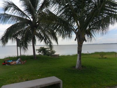
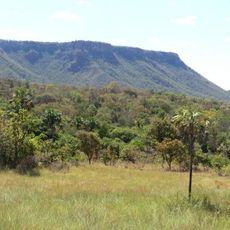
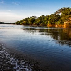
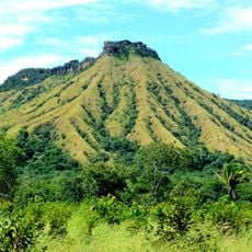
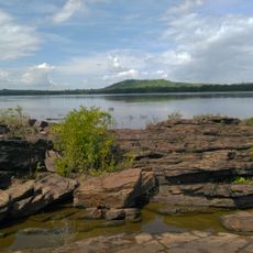
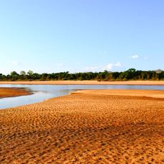
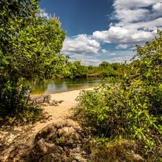
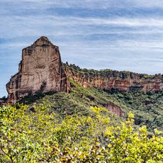
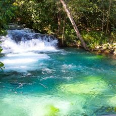
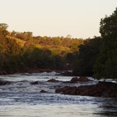
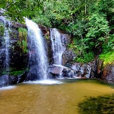
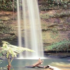
Guaraí is a municipality in Tocantins, Brazil, sitting at about 259 meters elevation with a mix of urban areas and farming land. The town and surrounding region blend residential zones with agricultural fields across varying terrain.
The municipality was established in 1988 alongside the creation of Tocantins state, marking a period of administrative reorganization in Brazil. This change reshaped the region and led to the development of new local institutions.
The local community gathers regularly at markets and celebrations where regional farm products take center stage in daily social life. These meetings show how farming practices shape the way people connect and work together.
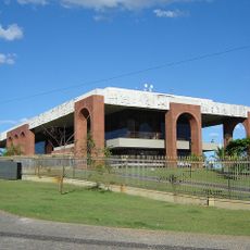
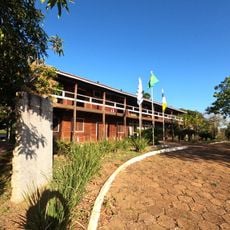
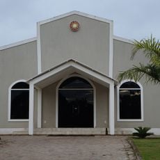
The municipality offers essential services including healthcare facilities, schools, and public transportation connecting urban and rural areas. Visitors can find the basic amenities needed to navigate the region comfortably.
Farmers here grow crops suited to the tropical climate using both traditional knowledge and modern farming methods. This blend of old and new techniques helps them produce good harvests while caring for the land.
Location: Tocantins
Elevation above the sea: 259 m
Shares border with: Colméia, Tabocão, Itapiratins, Itaporã do Tocantins, Presidente Kennedy, Santa Maria do Tocantins, Tupirama, Tupiratins
GPS coordinates: -8.83389,-48.51000
Latest update: December 7, 2025 19:32
Jalapão
223.3 km
Chapada das Mesas National Park
253.1 km
Nascentes do Rio Parnaíba National Park
270 km
Poço Azul
288.9 km
Cantão State Park
195.9 km
Araguaia Palace
151.6 km
Araguaia National Park
255.4 km
Pedra Caida
231.4 km
Museu Histórico do Tocantins
151.5 km
Lajeado State Park
144 km
Ponte Juscelino Kubitschek de Oliveira
278.4 km
São Geraldo do Araguaia Environmental Protection Area
279.1 km
Puente Ferroviario de Estreito MA
278.6 km
Cathedral of the Divine Holy Spirit in Palmas
151.8 km
Ilha do Bananal / Cantão Environmental Protection Area
144.5 km
Prainha do Rio Novo
264.8 km
Cânion do Sussuapara
233.7 km
Fervedouro Bela Vista
254.8 km
Fervedouro do Ceiça
277.2 km
Cachoeira da Velha
239 km
Serra da Catedral do Jalapão
229.3 km
Cachoeira do Formiga
279.2 km
Catedral Nossa Senhora das Mercês
208.8 km
Seminário São José
208.9 km
Praia do Rio Novo
239 km
Cachoeira do Lajeado
243.2 km
Cachoeira do Edilson
161.3 km
Pedra Furada
258.8 kmVisited this place? Tap the stars to rate it and share your experience / photos with the community! Try now! You can cancel it anytime.
Discover hidden gems everywhere you go!
From secret cafés to breathtaking viewpoints, skip the crowded tourist spots and find places that match your style. Our app makes it easy with voice search, smart filtering, route optimization, and insider tips from travelers worldwide. Download now for the complete mobile experience.
A unique approach to discovering new places❞
— Le Figaro
All the places worth exploring❞
— France Info
A tailor-made excursion in just a few clicks❞
— 20 Minutes