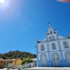
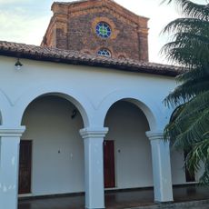
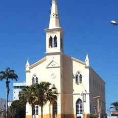
Formosa do Rio Preto, Municipal administrative center in western Bahia, Brazil.
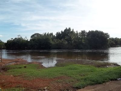
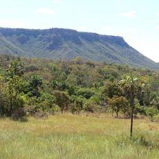
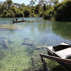
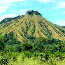
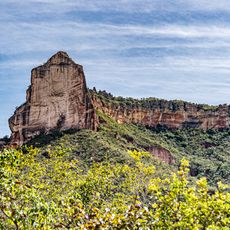
Formosa do Rio Preto is a municipality in western Bahia that spans a vast territory at an elevation of approximately 750 meters. As the largest municipality in northeastern Brazil, it serves as an administrative center providing services to its residents.
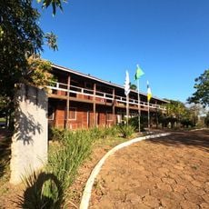
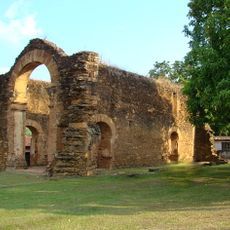
The municipality became administratively independent in December 1961, establishing itself as a governmental center in western Bahia. This status transformed it into an important administrative hub in the region.
The town center hosts regular ecological workshops and environmental education programs that engage students and foster conservation awareness among younger generations.
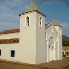
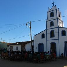
The administrative headquarters at Praça da Matriz offers essential services including tax collection, electronic invoicing, and access to public information. These facilities are most easily accessed during standard business hours.
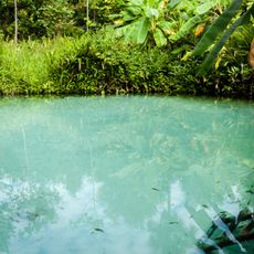
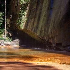
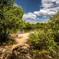
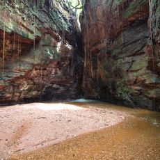
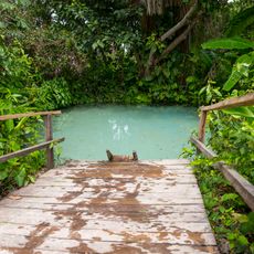
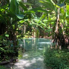
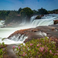
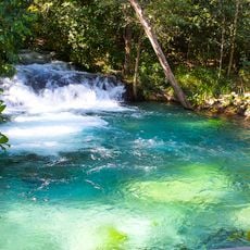
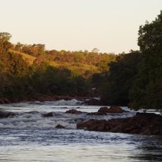
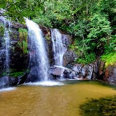
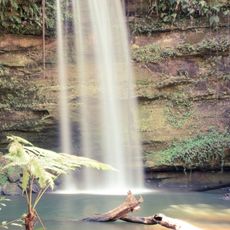
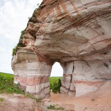
The territory encompasses sections of two major protected areas: the Serra Geral do Tocantins Ecological Station and the Nascentes do Rio Parnaíba National Park. These conservation zones give the region a distinctive ecological role as a buffer between settlement and native landscapes.
Location: Bahia
Inception: 1961
Elevation above the sea: 750 m
Shares border with: Santa Rita de Cássia, Barreiras, Barreiras do Piauí, Corrente, Cristalândia do Piauí, Dianópolis, Mateiros, Novo Jardim, Riachão das Neves, Rio da Conceição, São Gonçalo do Gurguéia
GPS coordinates: -11.04778,-45.19278
Latest update: December 7, 2025 10:06
Jalapão
224.9 km
Nascentes do Rio Parnaíba National Park
176.4 km
Serra Geral do Tocantins Ecological Station
156.7 km
Museu Histórico do Tocantins
354 km
Lajeado State Park
350.3 km
Fervedouro dos Buritis
161 km
Canion Encantado
222.4 km
Prainha do Rio Novo
178.5 km
Cânion do Sussuapara
250.2 km
Igreja Matriz de Nossa Senhora da Natividade
285.8 km
Fervedouro do Soninho
162.1 km
Fervedouro Bela Vista
185 km
Igreja de São Benedito
286 km
Fervedouro do Ceiça
163.8 km
Cachoeira da Velha
204.7 km
Serra da Catedral do Jalapão
211.8 km
Ruínas da Igreja de Nossa Senhora do Rosário dos Pretos
286 km
Igreja Matriz
283 km
Cachoeira do Formiga
160.9 km
Catedral Nossa Senhora das Mercês
354.5 km
Quilombo Igarité
221.8 km
Seminário São José
354.4 km
Historical center of Natividade
282.3 km
Cathedral of St John the Baptist in Barreiras
124.3 km
Praia do Rio Novo
204.7 km
Cachoeira do Lajeado
232.8 km
Cachoeira do Edilson
333.2 km
Pedra Furada
240.4 kmVisited this place? Tap the stars to rate it and share your experience / photos with the community! Try now! You can cancel it anytime.
Discover hidden gems everywhere you go!
From secret cafés to breathtaking viewpoints, skip the crowded tourist spots and find places that match your style. Our app makes it easy with voice search, smart filtering, route optimization, and insider tips from travelers worldwide. Download now for the complete mobile experience.
A unique approach to discovering new places❞
— Le Figaro
All the places worth exploring❞
— France Info
A tailor-made excursion in just a few clicks❞
— 20 Minutes