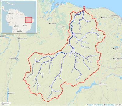
Parnaíba River, Major river system in northeastern Brazil.
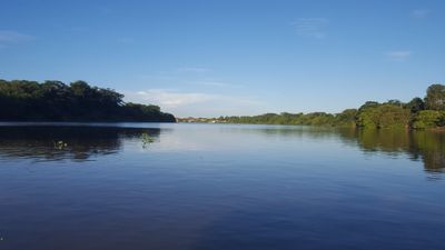
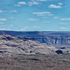
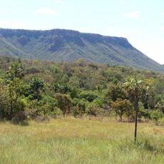
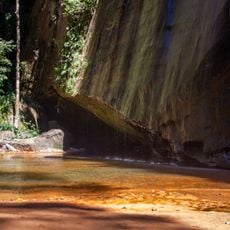
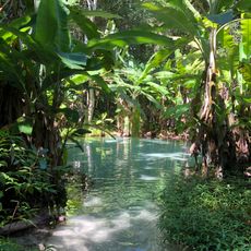
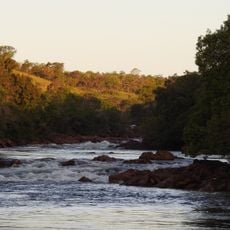
The Parnaíba River flows northeast for about 1,700 kilometers from Serra da Tabatinga through forests, plains, and wetlands until it reaches the Atlantic Ocean. Along its course, the waterway passes through diverse ecosystems and shapes the landscape of two major states.
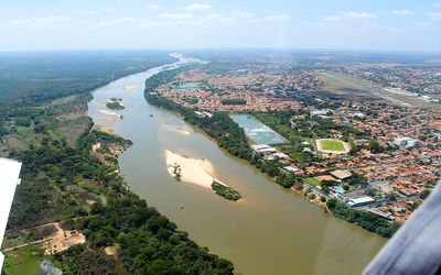
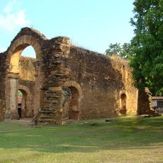
Since colonial times, the river has served as a natural boundary between the states of Maranhão and Piauí, fundamentally shaping how settlements and territories developed. This role as a dividing line influenced centuries of regional administration and economic activity.
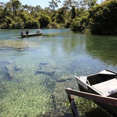
Fishing communities living along the river practice methods that have remained largely unchanged for centuries, with elders teaching younger generations how to navigate and harvest from its waters. The waterway shapes the daily rhythm and identity of people who depend on it for their livelihoods.
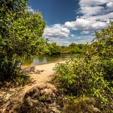
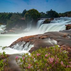
Small boats and shallow-draft vessels can navigate the river from the ocean up to the Rio Canindé junction, making it a working waterway for local communities. This water route becomes especially valuable during heavy rains when roads become difficult to use.
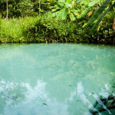
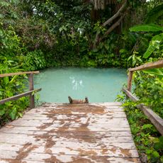
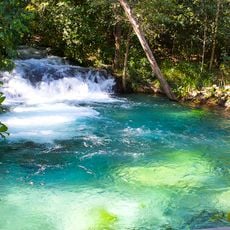
The river shelters roughly 140 fish species, with about 40 percent found nowhere else on Earth except this watershed. Several species like the Potamotrygon signata stingray have adapted to live only in these waters.
The community of curious travelers
AroundUs brings together thousands of curated places, local tips, and hidden gems, enriched daily by 60,000 contributors worldwide.