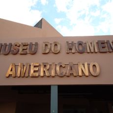
Casa Nova, Administrative division in northeastern Brazil.
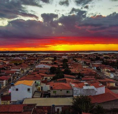
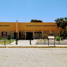
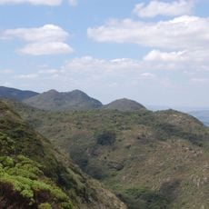
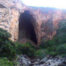
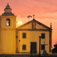
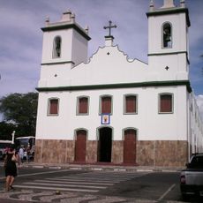
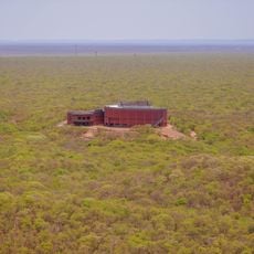
Casa Nova is a municipality in northeastern Bahia that covers an area with farmland and rural settlements spread across the region. The town and surrounding communities are organized around local agriculture and small-scale farming activities.
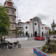
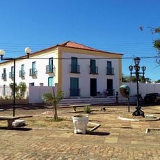
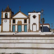
Casa Nova developed as an administrative unit through the regional growth of Bahia over centuries. The municipality adapted to changing territorial structures and administrative reforms within the Brazilian state system.
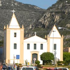
Local residents maintain traditional Brazilian practices while participating in regular civic meetings to discuss community improvements and administrative matters.
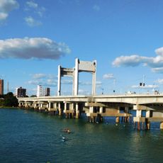
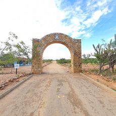
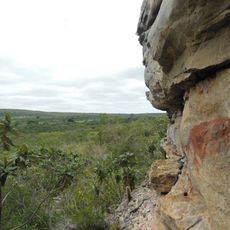
Visitors reach the municipality via road connections linking it to larger cities and allowing access to local communities. It is helpful to plan time for exploring the different villages and rural areas scattered across the region.
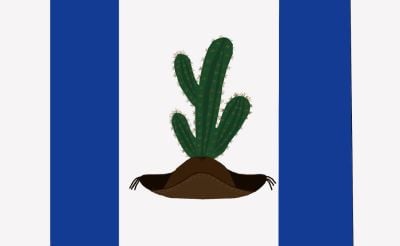
The regional flag of Casa Nova represents specific elements of local identity through its design, colors, and symbols that connect to the area's heritage.
Location: Bahia
Elevation above the sea: 445 m
Shares border with: Sobradinho, Afrânio, Dom Inocêncio, Lagoa do Barro do Piauí, Petrolina, Queimada Nova, Remanso, Sento Sé
Website: http://casanova.ba.io.org.br
GPS coordinates: -9.16194,-40.97083
Latest update: December 7, 2025 10:06
Serra da Capivara National Park
182.2 km
Bendegó meteorite
215.6 km
Sobradinho Reservoir
81.6 km
Pedra Furada
177.8 km
Ponte Presidente Dutra
58 km
Serra das Confusões National Park
286.1 km
Museu do Homem Americano
190.7 km
Toca da Tira Peia
157.1 km
Museu do Sertão
58 km
Canudos State Park
223.2 km
Cachoeira Véu de Noiva
247.1 km
Parish Church of Santo Antonio of Jacobina
230.6 km
Sete Passagens State Park
252.7 km
Hotel e Parque Aquático Fiesta Park
230.2 km
Morro do Chapéu State Park
249.5 km
Senhora Sant'Ana Parish
232.7 km
Museum of American Man
190.7 km
Igreja de Nossa Senhora da Conceição (Jacobina)
230.4 km
Conjunto Arquitetônico, Urbanístico, Natural e Paisagístico da Serra do Monte Santo
228.1 km
Fundação Museu Regional Do São Francisco
59.9 km
Morrão
271.8 km
Capivara-Confusões Ecological Corridor
223.3 km
Lapa dos Brejões
212.1 km
Sobrado Major Selemérico
270.8 km
Igreja Matriz de Nossa Senhora das Vitórias
270.8 km
Church of Our Lady of the Rosary of the Black People
270.3 km
Cathedral of Our Lord of the Good End, Senhor do Bonfim
168.1 km
Museu da Natureza
176.3 kmVisited this place? Tap the stars to rate it and share your experience / photos with the community! Try now! You can cancel it anytime.
Discover hidden gems everywhere you go!
From secret cafés to breathtaking viewpoints, skip the crowded tourist spots and find places that match your style. Our app makes it easy with voice search, smart filtering, route optimization, and insider tips from travelers worldwide. Download now for the complete mobile experience.
A unique approach to discovering new places❞
— Le Figaro
All the places worth exploring❞
— France Info
A tailor-made excursion in just a few clicks❞
— 20 Minutes