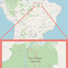
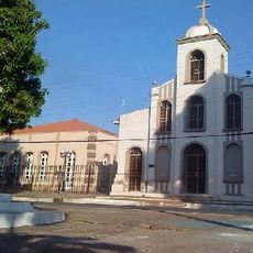
Curionópolis, Administrative municipality in Sudeste Paraense mesoregion, Pará, Brazil.
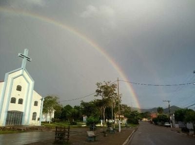
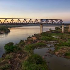
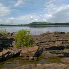
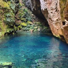
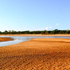
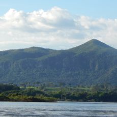
Curionópolis is a municipality in southeastern Pará, Brazil, located in a region of forest and open land. The settlement spreads across the territory with dispersed neighborhoods and a modest population spread.
The town was established as an independent administrative division in 1988, separating from a larger jurisdiction. This creation enabled local governance and independent development in the region.
The municipality serves as a hub for local craftsmanship, where residents maintain traditional skills passed down through generations. These practices shape daily community life and help define the character of the place.
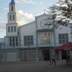
The town center with administration offices sits in an accessible location. Visitors can easily find key services and explore the surrounding neighborhoods on foot.
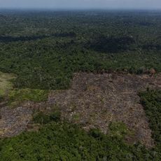
The area is known for its mining heritage that once shaped the local economy. Today, former mining sites stand as reminders of this important part of the place's story.
The community of curious travelers
AroundUs brings together thousands of curated places, local tips, and hidden gems, enriched daily by 60,000 contributors worldwide.