Pão de Açúcar, Municipal district in Alagoas, Brazil.
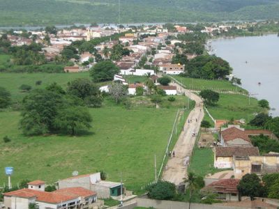
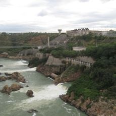
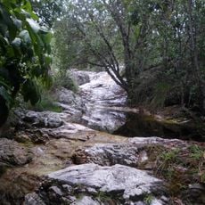
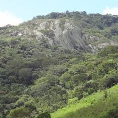
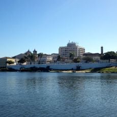
Pão de Açúcar is a municipality located in the western section of Alagoas state, situated along the São Francisco River. The region encompasses rural areas shaped primarily by agricultural activities and natural geography.
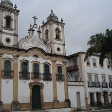
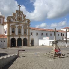
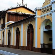
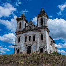
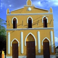
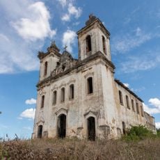
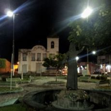
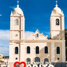
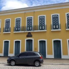
Pão de Açúcar developed from Portuguese settlements established in the 18th century and grew into an important trading hub along the São Francisco River. Its location made it a key point for regional commerce and exchange of goods.
The town's identity is deeply rooted in farming, with local celebrations honoring cotton and corn harvests that connect residents to their agricultural heritage. These gatherings show how farming remains central to community life and traditions.
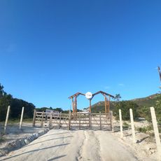
The best time to visit is during the dry season when road conditions are most favorable for travel through the region. Regular bus services connect the municipality to Maceió and other regional centers.
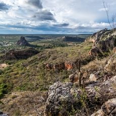
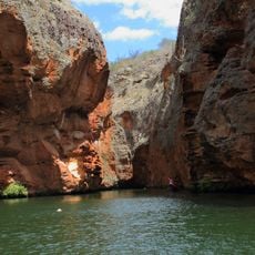
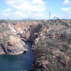
The region contains several archaeological sites with ancient rock paintings and artifacts from pre-colonial indigenous settlements. These discoveries along the river banks reveal a long history of human presence in the area.
Location: Alagoas
Elevation above the sea: 19 m
Shares border with: Belo Monte, São José da Tapera, Monteirópolis, Jacaré dos Homens, Palestina, Piranhas, Poço Redondo, Porto da Folha
GPS coordinates: -9.74778,-37.43694
Latest update: December 7, 2025 19:23
Catimbau National Park
129.8 km
Paulo Afonso Hydroelectric Complex
92.6 km
Paulo Afonso Falls
92.4 km
Serra de Itabaiana National Park
115.2 km
Church of Our Lady of Chains
111.1 km
Rio São Francisco Natural Monument
67.4 km
Canyon of Xingo
63.9 km
Usina Hidrelétrica de Angiquinho
92.2 km
Church of Our Lady of the Angels
111.2 km
Parque dos Falcões
111.5 km
Pedra Talhada Biological Reserve
125 km
Museu do Sertão (Piranhas)
37.4 km
Chapel of the Nossa Senhora da Penha Sugar Plantation
109.2 km
Casa de Graciliano Ramos
96.4 km
Igreja Matriz do Santuário Nossa Senhora Divina Pastora
108.4 km
Igreja Santo Antônio de Pádua
103.4 km
Capela do Engenho Nossa Senhora da Penha
109.2 km
Casa do Barão do Penedo
111.1 km
Grupo Escolar Coronel João Fernandes de Brito
83.8 km
Igreja de São Gonçalo Garcia
111.4 km
Theatro Sete de Setembro
111.3 km
Cine Laser Itabaiana
107.8 km
Igreja do Rosário
113.5 km
Parish Church of Divina Pastora
108.4 km
Conjunto arquitetônico, paisagístico e urbanístico de Penêdo, Alagoas
111.1 km
Mother Church of Nossa Senhora da Boa Hora and São Roque (Campo do Brito/SE)
111.5 km
Paço Imperial
111.1 km
Old Petrolandia Church
121.7 kmVisited this place? Tap the stars to rate it and share your experience / photos with the community! Try now! You can cancel it anytime.
Discover hidden gems everywhere you go!
From secret cafés to breathtaking viewpoints, skip the crowded tourist spots and find places that match your style. Our app makes it easy with voice search, smart filtering, route optimization, and insider tips from travelers worldwide. Download now for the complete mobile experience.
A unique approach to discovering new places❞
— Le Figaro
All the places worth exploring❞
— France Info
A tailor-made excursion in just a few clicks❞
— 20 Minutes