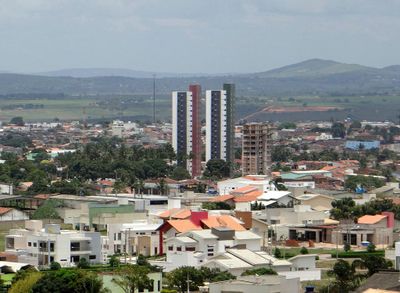
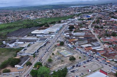
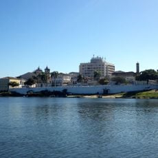
Arapiraca, Commercial center in Agreste region, Alagoas, Brazil.
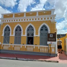
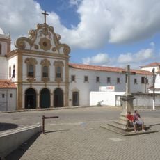
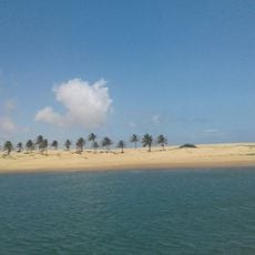
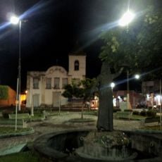
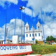
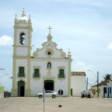
Arapiraca is a major city in the Agreste region of Alagoas state, sitting at about 264 meters elevation across a large area. It serves as a significant commercial center and ranks as the second largest municipality in the state.
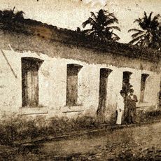
The settlement began in 1848 when Marinho Falcão sold land to Amaro da Silva Valente, which sparked agricultural development and community growth. This marked the start of organized settlement in the area.
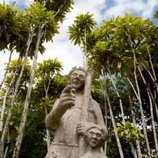
The name comes from the indigenous Tupi language and refers to a plant with thorny structures that grows locally. This linguistic heritage remains part of the community's identity today.
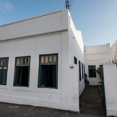
The city connects to other urban centers through major highways and serves as an economic hub for a large surrounding region. Visitors will find shopping and services oriented toward local needs and commerce.
Tobacco cultivation in the 1970s transformed the local economy and earned this place recognition as Brazil's Tobacco Capital. This agricultural past continues to shape the city's character and economy.
Location: Alagoas
Inception: 1924
Elevation above the sea: 264 m
Shares border with: Igaci, Lagoa da Canoa, Limoeiro de Anadia, Junqueiro, São Sebastião, Craíbas, Coité do Nóia, Feira Grande
Website: http://arapiraca.al.gov.br
GPS coordinates: -9.75000,-36.65000
Latest update: December 10, 2025 16:20
Estádio Rei Pelé
98.1 km
Praia do Francês
89 km
Serra da Barriga
89.9 km
Praia do Gunga
82.7 km
Church of Our Lady of Chains
60.6 km
Dunas de Marapé
74.1 km
Museu Casa Maria Mariá
94.2 km
Church of Our Lady of the Angels
60.5 km
Pedra Talhada Biological Reserve
62.7 km
Museu de Arte Sacra do Estado de Alagoas
83.1 km
Santa Isabel Biological Reserve
99 km
Parque Memorial Quilombo dos Palmares
89.3 km
Piaçabuçu Environmental Protection Area
75.5 km
Casa de Graciliano Ramos
38.1 km
Casa natal do Marechal Deodoro da Fonseca
83.2 km
Lagoa do Jequiá Marine Extractive Reserve
78.4 km
Casa do Barão do Penedo
60.5 km
Coruripe Lighthouse
73.2 km
Grupo Escolar Coronel João Fernandes de Brito
55.1 km
Igreja de São Gonçalo Garcia
60.8 km
Theatro Sete de Setembro
60.7 km
Sociedade Nossa Senhora do Bom Conselho
99.6 km
Escola Estadual Rocha Cavalcante
94.3 km
Igreja do Rosário
63.5 km
Igreja Nossa Senhora Mãe dos Homens
94.9 km
Igreja Matriz de Nossa Senhora da Conceição
82.9 km
Quilombo Muquém
98.2 km
Conjunto arquitetônico, paisagístico e urbanístico de Penêdo, Alagoas
60.6 kmVisited this place? Tap the stars to rate it and share your experience / photos with the community! Try now! You can cancel it anytime.
Discover hidden gems everywhere you go!
From secret cafés to breathtaking viewpoints, skip the crowded tourist spots and find places that match your style. Our app makes it easy with voice search, smart filtering, route optimization, and insider tips from travelers worldwide. Download now for the complete mobile experience.
A unique approach to discovering new places❞
— Le Figaro
All the places worth exploring❞
— France Info
A tailor-made excursion in just a few clicks❞
— 20 Minutes