Uruçuí, Municipality in Piauí, Brazil
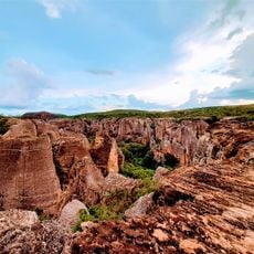
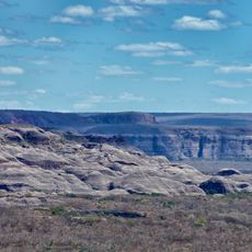
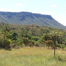
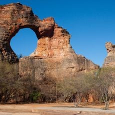
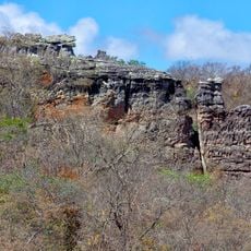
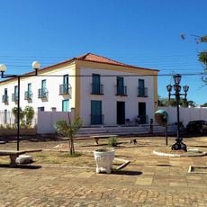
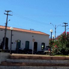
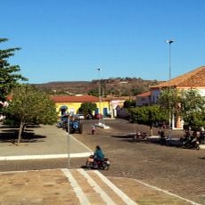
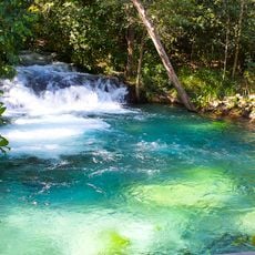
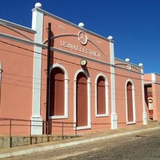
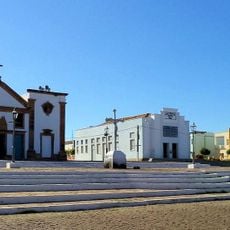
Uruçuí is a municipality in northeastern Brazil located within Piauí state, covering a large territory with varied landscapes. The area encompasses agricultural zones, residential neighborhoods, and local commercial spaces that shape daily activity.
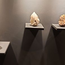
The municipality was officially founded in 1902 as part of Piauí's administrative expansion in the region. Since then, it has gradually developed through economic and demographic changes typical of northeastern Brazil.
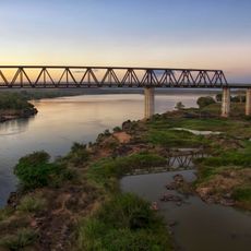
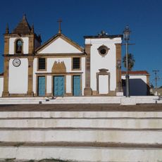
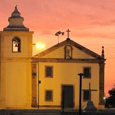
The town's character reflects deep-rooted agricultural practices that remain central to daily life and local identity. You can sense this connection in community spaces and how people engage with the land and each other throughout the region.
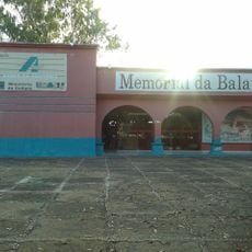
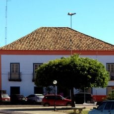
When visiting, keep in mind the local time zone (UTC-3) and that primary services are centered around local markets and government facilities. Essential supplies and information are readily available through the standard administrative infrastructure.
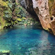
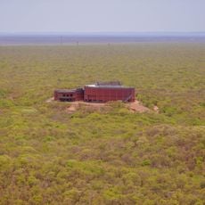
The municipality encompasses the largest land area of any administrative division in Piauí state. This expansive size is a surprising fact that shapes much of what visitors experience while exploring the region.
Location: Piauí
Elevation above the sea: 167 m
Shares border with: Antônio Almeida, Sebastião Leal
GPS coordinates: -7.23333,-44.55000
Latest update: December 7, 2025 19:25
Serra da Capivara National Park
272.2 km
Chapada das Mesas National Park
287.8 km
Pedra Furada
283.1 km
Serra das Confusões National Park
228 km
Museu do Homem Americano
285.8 km
Nascentes do Rio Parnaíba National Park
353.7 km
Poço Azul
210.2 km
Toca da Tira Peia
298.9 km
Memorial da Balaiada
294.6 km
Pedra Caida
320.2 km
Ponte Juscelino Kubitschek de Oliveira
330.2 km
Museum of American Man
285.7 km
Puente Ferroviario de Estreito MA
330.2 km
Encanto Azul
205.8 km
Capivara-Confusões Ecological Corridor
236.3 km
Sobrado Major Selemérico
268.1 km
Casa do Visconde da Parnaíba
268.3 km
Casa do Cônego
268.2 km
Sobrado dos Ferraz
268.2 km
Ponte Zacarias de Góis e Vasconcellos
268.1 km
Fervedouro Bela Vista
401.7 km
Igreja de Nossa Senhora da Conceição
268.3 km
Igreja Matriz de Nossa Senhora das Vitórias
268.3 km
Church of Our Lady of the Rosary of the Black People
268.2 km
Cachoeira do Formiga
404.7 km
Usina Maria Bonita
176.7 km
Historic town centre of Oeiras
268 km
Museu da Natureza
284.3 kmVisited this place? Tap the stars to rate it and share your experience / photos with the community! Try now! You can cancel it anytime.
Discover hidden gems everywhere you go!
From secret cafés to breathtaking viewpoints, skip the crowded tourist spots and find places that match your style. Our app makes it easy with voice search, smart filtering, route optimization, and insider tips from travelers worldwide. Download now for the complete mobile experience.
A unique approach to discovering new places❞
— Le Figaro
All the places worth exploring❞
— France Info
A tailor-made excursion in just a few clicks❞
— 20 Minutes