Tocantins River, Major river system in central Brazil.
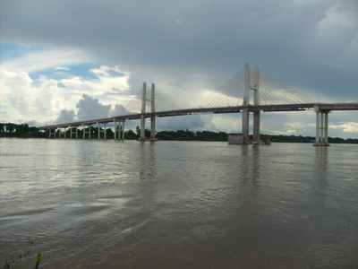
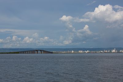
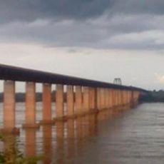
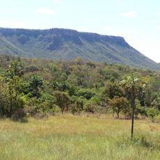
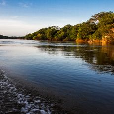
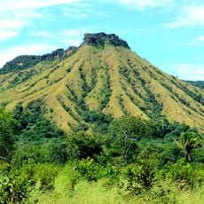
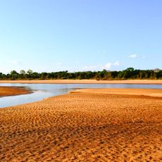
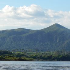
The Tocantins is a waterway in central Brazil that flows northward through four states, covering 2,640 kilometers from the Serra da Mesa Reservoir to Marajó Bay. Its course runs through tropical savannas and rainforest areas before reaching the Atlantic Ocean.
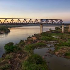
It served for centuries as a main transportation route for indigenous groups and early settlers who lived along its banks. Construction of the Tucuruí Dam during the 1980s changed navigation and how people used the waterway significantly.
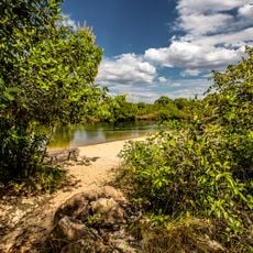
The name comes from the Tupi language and refers to the shape of a toucan's beak, which resembles how the waterway curves. Local fishing communities along the banks still follow traditional practices passed down through generations.
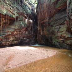
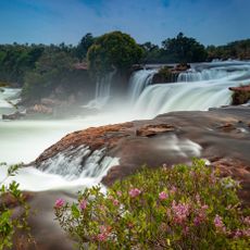
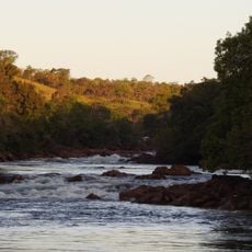
Navigation is interrupted by rapids, waterfalls, and the Tucuruí hydroelectric facility, so continuous journeys are not possible. Boat trips in accessible sections offer views of wildlife and vegetation along the banks.
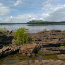
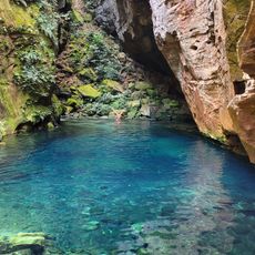
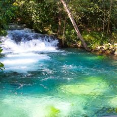
The system supports over 350 fish species, including rare ones such as the Araguaian river dolphin found only in this waterway. The clear water supports biodiversity and allows researchers to study aquatic habitats closely.
The community of curious travelers
AroundUs brings together thousands of curated places, local tips, and hidden gems, enriched daily by 60,000 contributors worldwide.